Voznesenskoye night lights from space
Night Light of Voznesenskoye (Nizhny Novgorod Oblast) from space (Russia) Src. Average luminocity for 10x10km area is 2.5407% and for 50x50km: 0.126%.
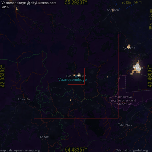
Analysis of Voznesenskoye night lights 2016
Square area 10x10 km:
 0%
0%90-99
0.12%80-89
0.84%70-79
0.48%60-69
0%50-59
0%40-49
0.72%30-39
1.2%20-29
0.96%10-19
0%0-9
95.69%Square area 50x50 km:
0%90-99
0%80-89
0.03%70-79
0.02%60-69
0.02%50-59
0%40-49
0.05%30-39
0.05%20-29
0.04%10-19
0%0-9
99.78%Clear (daylight) street map image can be seen on geolist.org.
Map coordinates:
55° 17' 32.5" North, 42° 3' 13.8" East
54° 53' 24" North, 42° 45' 25" East
54° 29' 0.9" North, 43° 27' 36.3" East
Some cities around Voznesenskoye sort by population:
• Sarov
36.6 km =22.7 mi,  81°
81°
• Kulebaki
59.9 km =37.2 mi,  346°
346°
• Ardatov
44.7 km =27.8 mi,  28°
28°
• Temnikov
41.2 km =25.6 mi,  134°
134°
• Yavas
53 km =32.9 mi,  173°
173°
• Diveyevo
35.3 km =21.9 mi,  61°
61°
• Kadom
41.2 km =25.6 mi,  206°
206°
• Gremyachevo
58.4 km =36.3 mi,  17°
17°
471172 (p: 6,252)
Sources (retrieved 2019-11-25):
» Earth at Night: Flat Maps 2012, 2016