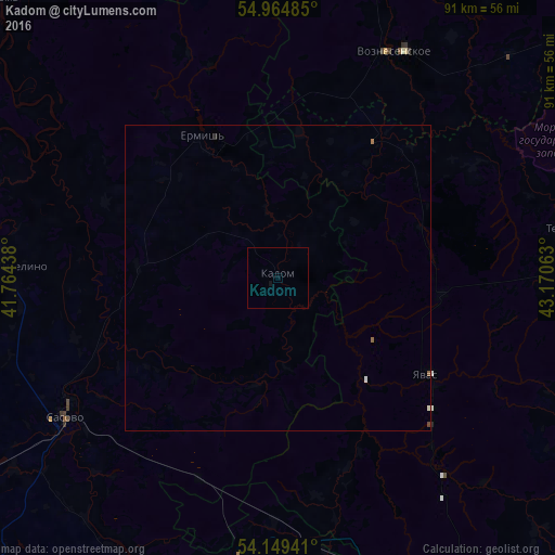
Kadom night lights from space
Night Light of Kadom (Ryazan Oblast) from space (Russia) Src. Average luminocity for 10x10km area is 0.067% and for 50x50km: 0.0998%.
Analysis of Kadom night lights 2016
Square area 10x10 km:
 0%
0%90-99
0%80-89
0%70-79
0%60-69
0%50-59
0%40-49
0%30-39
0%20-29
0%10-19
0.48%0-9
99.52%Square area 50x50 km:
0.01%90-99
0.03%80-89
0%70-79
0%60-69
0.02%50-59
0.03%40-49
0.02%30-39
0.01%20-29
0.01%10-19
0.02%0-9
99.84%Clear (daylight) street map image can be seen on geolist.org.
Map coordinates:
54° 57' 53.5" North, 41° 45' 51.8" East
54° 33' 33" North, 42° 28' 3" East
54° 8' 57.9" North, 43° 10' 14.3" East
Some cities around Kadom sort by population:
• Sarov
69.1 km =42.9 mi,  52°
52°
• Sasovo
42.1 km =26.2 mi,  237°
237°
• Zubova Polyana
58.7 km =36.5 mi,  155°
155°
• Torbeyevo
73.5 km =45.7 mi,  136°
136°
• Temnikov
48.8 km =30.3 mi,  80°
80°
• Yavas
29.3 km =18.2 mi,  122°
122°
• Diveyevo
73.2 km =45.5 mi,  42°
42°
• Voznesenskoye
41.2 km =25.6 mi,  26°
26°
554549 (p: 6,027)
Sources (retrieved 2019-11-25):
» Earth at Night: Flat Maps 2012, 2016