Kulebaki night lights from space
Night Light of Kulebaki (Nizhny Novgorod Oblast) from space (Russia) Src. Average luminocity for 10x10km area is 12.012% and for 50x50km: 1.961%.
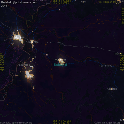
Analysis of Kulebaki night lights 2016
Square area 10x10 km:
 0.6%
0.6%90-99
1.32%80-89
0.84%70-79
1.79%60-69
2.87%50-59
4.07%40-49
2.03%30-39
0.6%20-29
0.24%10-19
1.79%0-9
83.85%Square area 50x50 km:
0.24%90-99
0.28%80-89
0.12%70-79
0.26%60-69
0.45%50-59
0.38%40-49
0.24%30-39
0.11%20-29
0.18%10-19
1.21%0-9
96.54%Clear (daylight) street map image can be seen on geolist.org.
Map coordinates:
55° 48' 37.6" North, 41° 49' 45.8" East
55° 24' 48" North, 42° 31' 57" East
55° 0' 43.8" North, 43° 14' 8.3" East
Some cities around Kulebaki sort by population:
• Murom
35.7 km =22.2 mi,  300°
300°
• Vyksa
25 km =15.5 mi,  244°
244°
• Melenki
57.7 km =35.9 mi,  261°
261°
• Navashino
25.7 km =16 mi, 304°
• Ardatov
40.5 km =25.2 mi,  118°
118°
• Vacha
45.9 km =28.5 mi,  19°
19°
• Gremyachevo
31.3 km =19.4 mi,  94°
94°
• Doschatoye
27.2 km =16.9 mi, 264°
539555 (p: 37,622)
Sources (retrieved 2019-11-25):
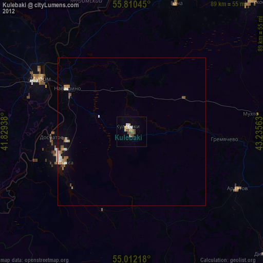
» Earth at Night: Flat Maps 2012, 2016