Verkhniye Kigi night lights from space
Night Light of Verkhniye Kigi (Bashkortostan Republic) from space (Russia) Src. Average luminocity for 10x10km area is 0% and for 50x50km: 0.1842%.
Analysis of Verkhniye Kigi night lights 2016
Square area 10x10 km:
 0%
0%90-99
0%80-89
0%70-79
0%60-69
0%50-59
0%40-49
0%30-39
0%20-29
0%10-19
0%0-9
100%Square area 50x50 km:
0%90-99
0%80-89
0%70-79
0%60-69
0.02%50-59
0.03%40-49
0.02%30-39
0.03%20-29
0.43%10-19
0.02%0-9
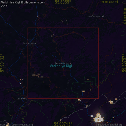
99.43%Clear (daylight) street map image can be seen on geolist.org.
Map coordinates:
55° 48' 19.8" North, 57° 54' 4.8" East
55° 24' 30" North, 58° 36' 16" East
55° 0' 25.7" North, 59° 18' 27.3" East
Some cities around Verkhniye Kigi sort by population:
• Satka
49.2 km =30.6 mi,  145°
145°
• Ust’-Katav
59.1 km =36.7 mi,  207°
207°
• Bakal
53.5 km =33.2 mi,  165°
165°
• Kusa
53.4 km =33.2 mi,  98°
98°
• Mesyagutovo
26 km =16.2 mi,  301°
301°
• Novobelokatay
39.8 km =24.7 mi,  33°
33°
• Berdyaush
43.9 km =27.3 mi,  128°
128°
• Kropachëvo
58.9 km =36.6 mi,  221°
221°
475100 (p: 6,885)
Sources (retrieved 2019-11-25):
» Earth at Night: Flat Maps 2012, 2016