Verkhniy Ufaley night lights from space
Night Light of Verkhniy Ufaley (Chelyabinsk) from space (Russia) Src. Average luminocity for 10x10km area is 14.0658% and for 50x50km: 0.8436%.
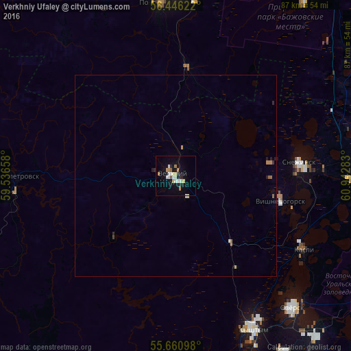
Analysis of Verkhniy Ufaley night lights 2016
Square area 10x10 km:
 1.91%
1.91%90-99
3.35%80-89
1.91%70-79
1.56%60-69
1.79%50-59
0.96%40-49
0%30-39
0.36%20-29
2.51%10-19
7.42%0-9
78.23%Square area 50x50 km:
0.08%90-99
0.16%80-89
0.09%70-79
0.13%60-69
0.15%50-59
0.07%40-49
0.02%30-39
0.05%20-29
0.19%10-19
0.37%0-9
98.69%Clear (daylight) street map image can be seen on geolist.org.
Map coordinates:
56° 26' 46.4" North, 59° 32' 11.7" East
56° 3' 20.2" North, 60° 14' 22.9" East
55° 39' 39.5" North, 60° 56' 34.2" East
Some cities around Verkhniy Ufaley sort by population:
• Ozersk
44.1 km =27.4 mi,  139°
139°
• Polevskoy
43.1 km =26.8 mi,  355°
355°
• Snezhinsk
30.7 km =19.1 mi,  83°
83°
• Kyshtym
42.7 km =26.5 mi,  152°
152°
• Kasli
37.3 km =23.2 mi,  119°
119°
• Nyazepetrovsk
39.5 km =24.5 mi,  269°
269°
• Novogornyy
58.5 km =36.4 mi, 143°
• Vishnëvogorsk
27 km =16.8 mi,  105°
105°
1487394 (p: 33,245)
Sources (retrieved 2019-11-25):
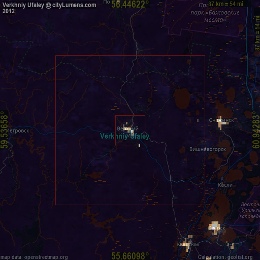
» Earth at Night: Flat Maps 2012, 2016