Polevskoy night lights from space
Night Light of Polevskoy (Sverdlovsk) from space (Russia) Src. Average luminocity for 10x10km area is 19.3845% and for 50x50km: 1.9916%.
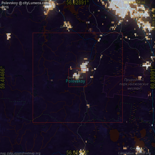

Analysis of Polevskoy night lights 2016
Square area 10x10 km:
 2.86%
2.86%90-99
4.05%80-89
0.95%70-79
1.67%60-69
3.33%50-59
1.9%40-49
2.5%30-39
2.26%20-29
3.1%10-19
20.24%0-9
57.14%Square area 50x50 km:
0.31%90-99
0.45%80-89
0.15%70-79
0.16%60-69
0.26%50-59
0.19%40-49
0.17%30-39
0.15%20-29
0.28%10-19
2.1%0-9
95.79%Clear (daylight) street map image can be seen on geolist.org.
Map coordinates:
56° 49' 44.1" North, 59° 29' 4.8" East
56° 26' 32" North, 60° 11' 16" East
56° 3' 5.6" North, 60° 53' 27.3" East
Some cities around Polevskoy sort by population:
• Revda
42.9 km =26.7 mi,  338°
338°
• Snezhinsk
52 km =32.3 mi,  139°
139°
• Verkhniy Ufaley
43.1 km =26.8 mi,  175°
175°
• Sysert’
39.3 km =24.4 mi,  80°
80°
• Talitsa
49.8 km =30.9 mi,  348°
348°
• Degtyarsk
29.7 km =18.5 mi, 348°
• Aramil
48.9 km =30.4 mi,  54°
54°
• Verkhniye Sergi
44.9 km =27.9 mi,  300°
300°
1494573 (p: 65,770)
Sources (retrieved 2019-11-25):
» NASA, Earths city lights 1995
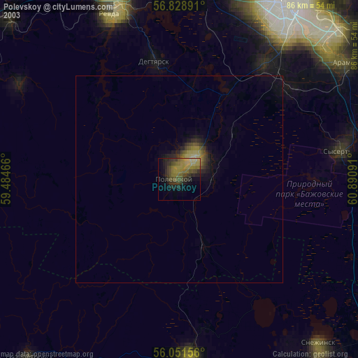
» NASA city lights 2003
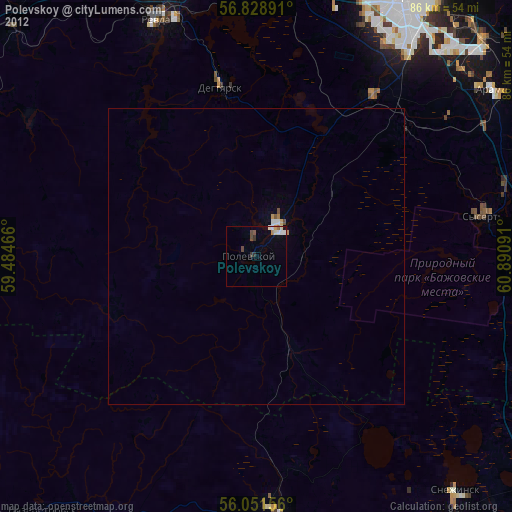
» Earth at Night: Flat Maps 2012, 2016