Vad night lights from space
Night Light of Vad (Nizhny Novgorod Oblast) from space (Russia) Src. Average luminocity for 10x10km area is 2.0288% and for 50x50km: 0.8324%.
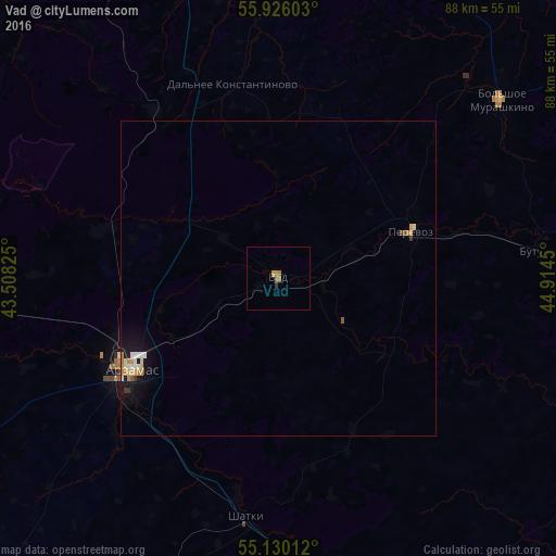
Analysis of Vad night lights 2016
Square area 10x10 km:
 0%
0%90-99
0%80-89
0%70-79
0.88%60-69
1.38%50-59
0.25%40-49
0%30-39
0.5%20-29
0%10-19
0%0-9
96.99%Square area 50x50 km:
0.08%90-99
0.15%80-89
0.12%70-79
0.16%60-69
0.15%50-59
0.05%40-49
0.04%30-39
0.1%20-29
0%10-19
0.75%0-9
98.39%Clear (daylight) street map image can be seen on geolist.org.
Map coordinates:
55° 55' 33.7" North, 43° 30' 29.7" East
55° 31' 48.3" North, 44° 12' 40.9" East
55° 7' 48.4" North, 44° 54' 52.2" East
Some cities around Vad sort by population:
• Arzamas
27.8 km =17.3 mi,  237°
237°
• Lukoyanov
58.4 km =36.3 mi,  163°
163°
• Perevoz
22.2 km =13.8 mi,  70°
70°
• Shatki
38.3 km =23.8 mi,  188°
188°
• Vyyezdnoye
31.5 km =19.6 mi, 238°
• Bol’shoye Murashkino
45.2 km =28.1 mi,  51°
51°
• Knyaginino
61 km =37.9 mi,  57°
57°
• Buturlino
43.3 km =26.9 mi,  84°
84°
477424 (p: 6,698)
Sources (retrieved 2019-11-25):
» Earth at Night: Flat Maps 2012, 2016