Arzamas night lights from space
Night Light of Arzamas (Nizhny Novgorod Oblast) from space (Russia) Src. Average luminocity for 10x10km area is 21.0706% and for 50x50km: 1.007%.
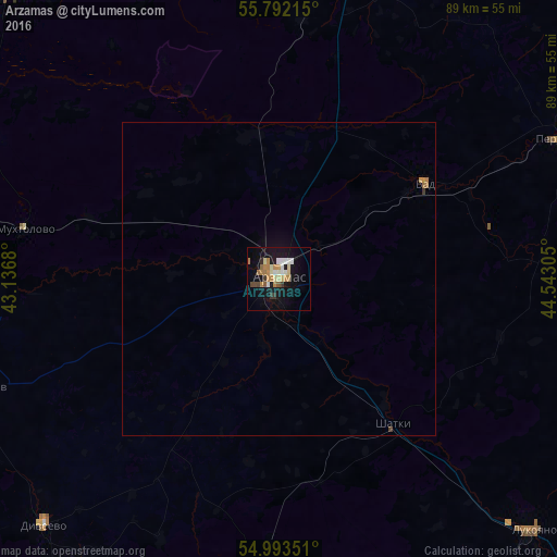
Analysis of Arzamas night lights 2016
Square area 10x10 km:
 2.15%
2.15%90-99
4.07%80-89
2.75%70-79
2.51%60-69
5.26%50-59
1.44%40-49
1.44%30-39
1.91%20-29
0.6%10-19
22.61%0-9
55.26%Square area 50x50 km:
0.09%90-99
0.17%80-89
0.11%70-79
0.14%60-69
0.27%50-59
0.07%40-49
0.07%30-39
0.1%20-29
0.02%10-19
0.96%0-9
98%Clear (daylight) street map image can be seen on geolist.org.
Map coordinates:
55° 47' 31.7" North, 43° 8' 12.5" East
55° 23' 41.5" North, 43° 50' 23.7" East
54° 59' 36.6" North, 44° 32' 35" East
Some cities around Arzamas sort by population:
• Lukoyanov
57.5 km =35.7 mi,  135°
135°
• Perevoz
49.7 km =30.9 mi,  63°
63°
• Shatki
29.2 km =18.1 mi, 141°
• Ardatov
50 km =31.1 mi,  250°
250°
• Vyyezdnoye
3.7 km =2.3 mi, 246°
• Vad
27.8 km =17.3 mi, 57°
• Diveyevo
54.5 km =33.9 mi,  224°
224°
• Gremyachevo
51.3 km =31.9 mi,  269°
269°
580724 (p: 109,479)
Sources (retrieved 2019-11-25):
» NASA, Earths city lights 1995
» NASA city lights 2003
» Earth at Night: Flat Maps 2012, 2016