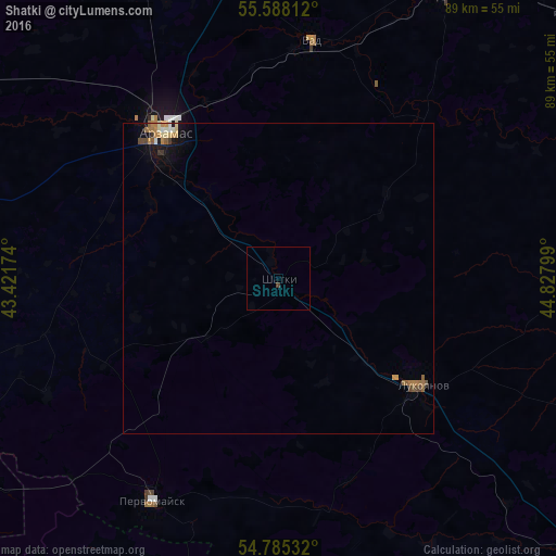
Shatki night lights from space
Night Light of Shatki (Nizhny Novgorod Oblast) from space (Russia) Src. Average luminocity for 10x10km area is 0.2068% and for 50x50km: 0.8696%.
Analysis of Shatki night lights 2016
Square area 10x10 km:
 0%
0%90-99
0%80-89
0%70-79
0%60-69
0%50-59
0%40-49
0.38%30-39
0.13%20-29
0%10-19
0%0-9
99.5%Square area 50x50 km:
0.04%90-99
0.11%80-89
0.1%70-79
0.14%60-69
0.27%50-59
0.17%40-49
0.14%30-39
0.08%20-29
0%10-19
0.55%0-9
98.41%Clear (daylight) street map image can be seen on geolist.org.
Map coordinates:
55° 35' 17.2" North, 43° 25' 18.3" East
55° 11' 19.5" North, 44° 7' 29.5" East
54° 47' 7.2" North, 44° 49' 40.8" East
Some cities around Shatki sort by population:
• Arzamas
29.2 km =18.1 mi,  321°
321°
• Sarov
58.3 km =36.2 mi,  241°
241°
• Pervomaysk
41.1 km =25.5 mi,  209°
209°
• Lukoyanov
28.8 km =17.9 mi,  128°
128°
• Perevoz
52.5 km =32.6 mi,  30°
30°
• Vyyezdnoye
30.3 km =18.8 mi, 315°
• Vad
38.3 km =23.8 mi,  8°
8°
• Diveyevo
58.4 km =36.3 mi,  253°
253°
495562 (p: 8,773)
Sources (retrieved 2019-11-25):
» Earth at Night: Flat Maps 2012, 2016