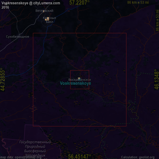
Voskresenskoye night lights from space
Night Light of Voskresenskoye (Nizhny Novgorod Oblast) from space (Russia) Src. Average luminocity for 10x10km area is 0.4595% and for 50x50km: 0.0179%.
Analysis of Voskresenskoye night lights 2016
Square area 10x10 km:
 0%
0%90-99
0%80-89
0%70-79
0%60-69
0%50-59
0%40-49
0.95%30-39
0%20-29
0%10-19
0%0-9
99.05%Square area 50x50 km:
0%90-99
0%80-89
0%70-79
0%60-69
0%50-59
0%40-49
0.04%30-39
0%20-29
0%10-19
0%0-9
99.96%Clear (daylight) street map image can be seen on geolist.org.
Map coordinates:
57° 13' 14.5" North, 44° 43' 42.8" East
56° 50' 17" North, 45° 25' 54" East
56° 27' 5.3" North, 46° 8' 5.3" East
Some cities around Voskresenskoye sort by population:
• Semënov
57.4 km =35.7 mi,  264°
264°
• Uren’
71.9 km =44.7 mi,  17°
17°
• Krasnyye Baki
36.5 km =22.7 mi,  333°
333°
• Sharanga
77 km =47.8 mi,  60°
60°
• Sukhobezvodnoye
40.4 km =25.1 mi,  305°
305°
• Linda
85.2 km =52.9 mi,  253°
253°
• Tonkino
86.1 km =53.5 mi,  46°
46°
• Vetluzhskiy
41.7 km =25.9 mi, 333°
471607 (p: 6,028)
Sources (retrieved 2019-11-25):
» Earth at Night: Flat Maps 2012, 2016