Komendantsky aerodrom night lights from space
Night Light of Komendantsky aerodrom (St.-Petersburg) from space (Russia) Src. Average luminocity for 10x10km area is 94.21% and for 50x50km: 52.3677%.
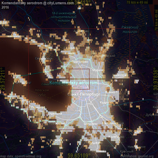
Analysis of Komendantsky aerodrom night lights 2016
Square area 10x10 km:
 69.48%
90-99
15.8%80-89
3.25%70-79
0.87%60-69
5.74%50-59
2.06%40-49
2.06%30-39
0.76%20-29
0%10-19
0%0-9
0%Square area 50x50 km:
22.98%90-99
10.46%80-89
4.4%70-79
5.02%60-69
4.59%50-59
2.39%40-49
1.91%30-39
4.54%20-29
10.43%10-19
14.04%0-9
19.24%Clear (daylight) street map image can be seen on geolist.org.
Map coordinates:
60° 21' 14.9" North, 29° 34' 19.6" East
60° 0' 16.1" North, 30° 16' 30.8" East
59° 39' 3.9" North, 30° 58' 42.1" East
Some cities around Komendantsky aerodrom sort by population:
• Svetlanovskiy
3.1 km =1.9 mi,  93°
93°
• Chernaya Rechka
2.6 km =1.6 mi,  142°
142°
• Untolovo
3.8 km =2.4 mi,  283°
283°
• Kolomyagi
2.3 km =1.4 mi,  13°
13°
• Sampsonievskiy
4.3 km =2.7 mi,  119°
119°
• Staraya Derevnya
2.5 km =1.6 mi,  224°
224°
• Krestovskiy ostrov
3.9 km =2.4 mi,  194°
194°
• Novaya Derevnya
2 km =1.2 mi,  161°
161°
535729 (p: 84,052)
Sources (retrieved 2019-11-25):
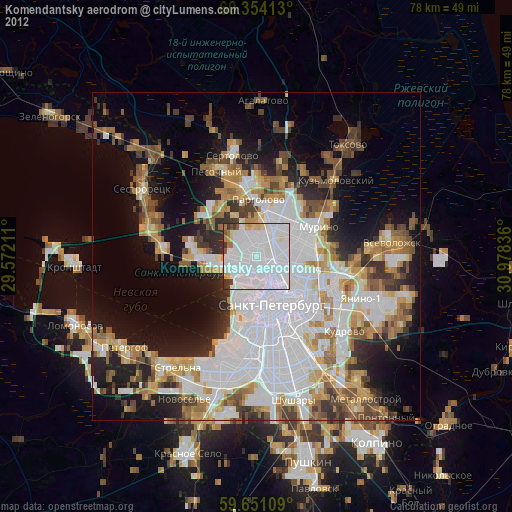
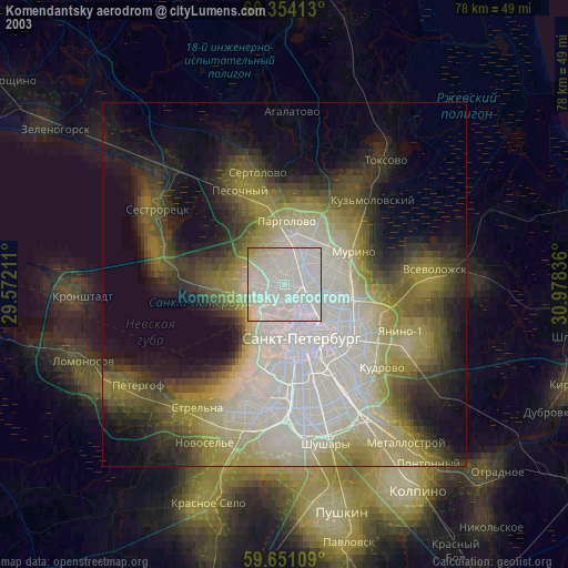
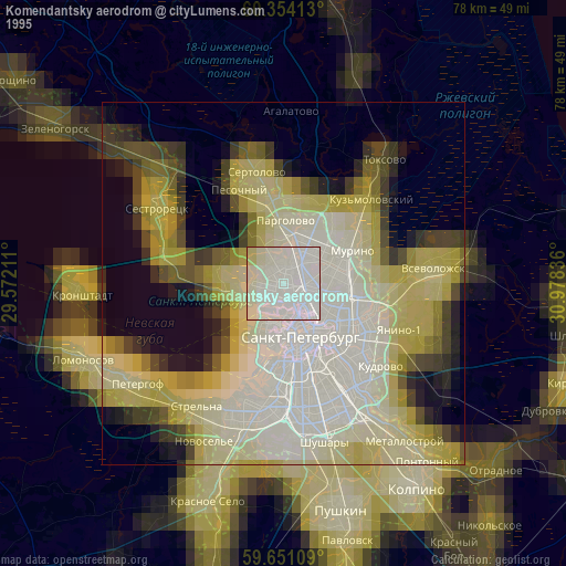
» NASA, Earths city lights 1995
» NASA city lights 2003
» Earth at Night: Flat Maps 2012, 2016