Bol’shoye Boldino night lights from space
Night Light of Bol’shoye Boldino (Nizhny Novgorod Oblast) from space (Russia) Src. Average luminocity for 10x10km area is 0% and for 50x50km: 0%.
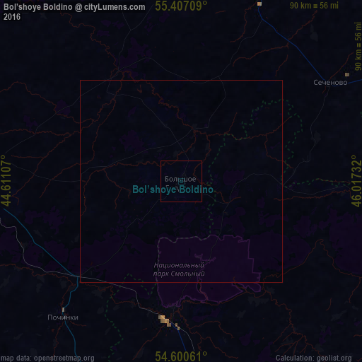
Analysis of Bol’shoye Boldino night lights 2016
Square area 10x10 km:
 0%
0%90-99
0%80-89
0%70-79
0%60-69
0%50-59
0%40-49
0%30-39
0%20-29
0%10-19
0%0-9
100%Square area 50x50 km:
0%90-99
0%80-89
0%70-79
0%60-69
0%50-59
0%40-49
0%30-39
0%20-29
0%10-19
0%0-9
100%Clear (daylight) street map image can be seen on geolist.org.
Map coordinates:
55° 24' 25.5" North, 44° 36' 39.9" East
55° 0' 21.2" North, 45° 18' 51.1" East
54° 36' 2.2" North, 46° 1' 2.4" East
Some cities around Bol’shoye Boldino sort by population:
• Sergach
59.2 km =36.8 mi,  9°
9°
• Lukoyanov
53.3 km =33.1 mi,  272°
272°
• Pochinki
44.6 km =27.7 mi,  219°
219°
• Romodanovo
64.3 km =40 mi,  179°
179°
• Ardatov
61.6 km =38.3 mi,  106°
106°
• Buturlino
67.7 km =42.1 mi,  337°
337°
• Turgenevo
67.3 km =41.8 mi, 105°
• Sechenovo
44 km =27.3 mi,  56°
56°
573709 (p: 5,100)
Sources (retrieved 2019-11-25):
» Earth at Night: Flat Maps 2012, 2016