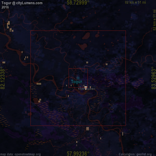
Togur night lights from space
Night Light of Togur (Tomsk Oblast) from space (Russia) Src. Average luminocity for 10x10km area is 1.0023% and for 50x50km: 0.2056%.
Analysis of Togur night lights 2016
Square area 10x10 km:
 0%
0%90-99
0.11%80-89
0.11%70-79
0.23%60-69
0.23%50-59
0%40-49
0.45%30-39
0.45%20-29
0%10-19
0.23%0-9
98.19%Square area 50x50 km:
0%90-99
0.01%80-89
0.01%70-79
0.02%60-69
0.04%50-59
0.02%40-49
0.17%30-39
0.14%20-29
0%10-19
0.02%0-9
99.58%Clear (daylight) street map image can be seen on geolist.org.
Map coordinates:
58° 43' 48" North, 82° 7' 24.2" East
58° 21' 47.2" North, 82° 49' 35.4" East
57° 59' 32.5" North, 83° 31' 46.7" East
Some cities around Togur sort by population:
• Kolpashevo
7.4 km =4.6 mi,  139°
139°
• Kargasok
137.3 km =85.3 mi,  304°
304°
• Belyy Yar
129.4 km =80.4 mi,  85°
85°
• Bakchar
156.1 km =97 mi,  196°
196°
• Parabel’
86.4 km =53.7 mi, 295°
• Molchanovo
103.1 km =64.1 mi,  147°
147°
• Krivosheino
130.7 km =81.2 mi, 150°
• Podgornoye
64.7 km =40.2 mi,  189°
189°
1489499 (p: 8,442)
Sources (retrieved 2019-11-25):
» Earth at Night: Flat Maps 2012, 2016