Kolpashevo night lights from space
Night Light of Kolpashevo (Tomsk Oblast) from space (Russia) Src. Average luminocity for 10x10km area is 2% and for 50x50km: 0.2313%.
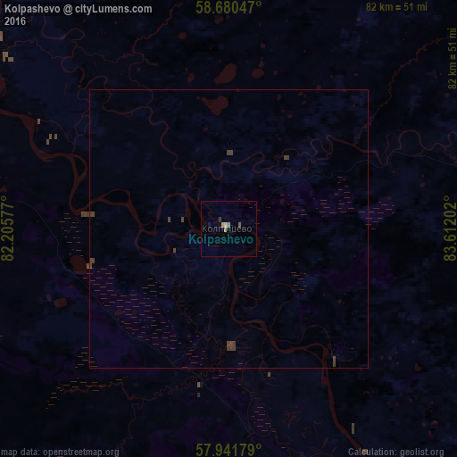
Analysis of Kolpashevo night lights 2016
Square area 10x10 km:
 0%
0%90-99
0.23%80-89
0.23%70-79
0.45%60-69
0.91%50-59
0.45%40-49
0%30-39
0.45%20-29
0%10-19
0.45%0-9
96.83%Square area 50x50 km:
0%90-99
0.01%80-89
0.01%70-79
0.02%60-69
0.04%50-59
0.02%40-49
0.15%30-39
0.23%20-29
0%10-19
0.02%0-9
99.51%Clear (daylight) street map image can be seen on geolist.org.
Map coordinates:
58° 40' 49.7" North, 82° 12' 20.8" East
58° 18' 47" North, 82° 54' 32" East
57° 56' 30.4" North, 83° 36' 43.3" East
Some cities around Kolpashevo sort by population:
• Kargasok
144.5 km =89.8 mi,  304°
304°
• Togur
7.4 km =4.6 mi,  319°
319°
• Belyy Yar
125.2 km =77.8 mi,  83°
83°
• Bakchar
152.3 km =94.6 mi,  199°
199°
• Parabel’
93.2 km =57.9 mi, 297°
• Molchanovo
95.9 km =59.6 mi,  148°
148°
• Krivosheino
123.5 km =76.7 mi, 150°
• Podgornoye
60.2 km =37.4 mi,  194°
194°
1502862 (p: 27,876)
Sources (retrieved 2019-11-25):
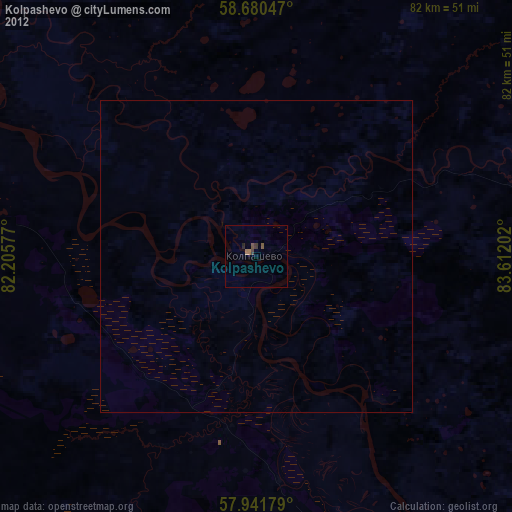
» Earth at Night: Flat Maps 2012, 2016