Kargasok night lights from space
Night Light of Kargasok (Tomsk Oblast) from space (Russia) Src. Average luminocity for 10x10km area is 3.3095% and for 50x50km: 0.317%.
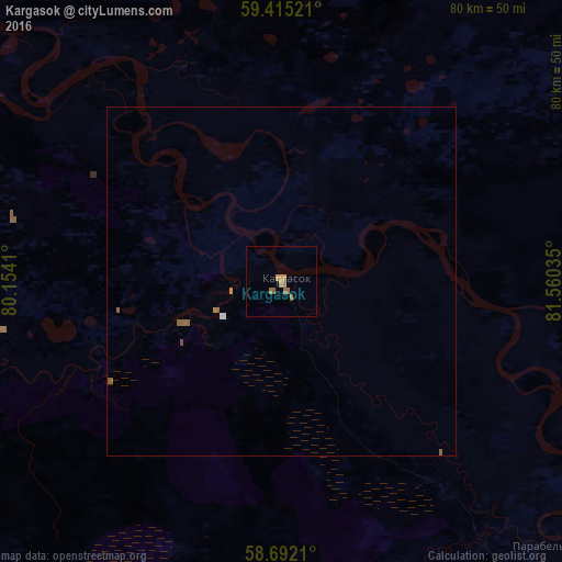
Analysis of Kargasok night lights 2016
Square area 10x10 km:
 0%
0%90-99
0%80-89
0%70-79
1.73%60-69
1.41%50-59
1.19%40-49
0%30-39
0%20-29
0%10-19
0%0-9
95.67%Square area 50x50 km:
0.02%90-99
0.02%80-89
0%70-79
0.09%60-69
0.09%50-59
0.19%40-49
0.01%30-39
0%20-29
0%10-19
0%0-9
99.58%Clear (daylight) street map image can be seen on geolist.org.
Map coordinates:
59° 24' 54.8" North, 80° 9' 14.8" East
59° 3' 20" North, 80° 51' 26" East
58° 41' 31.6" North, 81° 33' 37.3" East
Some cities around Kargasok sort by population:
• Strezhevoy
260.8 km =162.1 mi,  315°
315°
• Kolpashevo
144.5 km =89.8 mi,  124°
124°
• Togur
137.3 km =85.3 mi, 124°
• Belyy Yar
250.7 km =155.8 mi,  105°
105°
• Bakchar
237.5 km =147.6 mi,  162°
162°
• Parabel’
53.6 km =33.3 mi,  137°
137°
• Molchanovo
236.1 km =146.7 mi,  133°
133°
• Podgornoye
175.4 km =109 mi, 143°
1504382 (p: 8,572)
Sources (retrieved 2019-11-25):
» Earth at Night: Flat Maps 2012, 2016