Bakchar night lights from space
Night Light of Bakchar (Tomsk Oblast) from space (Russia) Src. Average luminocity for 10x10km area is 0.2818% and for 50x50km: 0.0294%.
Analysis of Bakchar night lights 2016
Square area 10x10 km:
 0%
0%90-99
0%80-89
0%70-79
0%60-69
0%50-59
0.45%40-49
0%30-39
0%20-29
0%10-19
0%0-9
99.55%Square area 50x50 km:
0%90-99
0%80-89
0%70-79
0%60-69
0%50-59
0.04%40-49
0%30-39
0.02%20-29
0%10-19
0%0-9
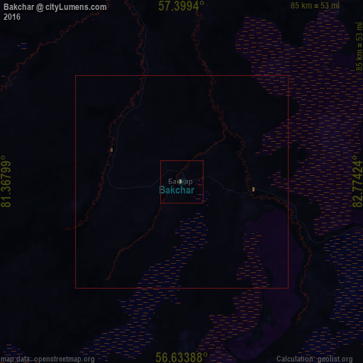
99.94%Clear (daylight) street map image can be seen on geolist.org.
Map coordinates:
57° 23' 57.8" North, 81° 22' 4.8" East
57° 1' 7" North, 82° 4' 16" East
56° 38' 2" North, 82° 46' 27.3" East
Some cities around Bakchar sort by population:
• Kolpashevo
152.3 km =94.6 mi,  19°
19°
• Mel’nikovo
132.9 km =82.6 mi,  112°
112°
• Togur
156.1 km =97 mi, 16°
• Kozhevnikovo
143.6 km =89.2 mi,  126°
126°
• Molchanovo
119.7 km =74.4 mi,  58°
58°
• Krivosheino
117.5 km =73 mi,  72°
72°
• Samus’
162.8 km =101.2 mi,  100°
100°
• Podgornoye
92.4 km =57.4 mi, 22°
1511057 (p: 7,195)
Sources (retrieved 2019-11-25):
» Earth at Night: Flat Maps 2012, 2016