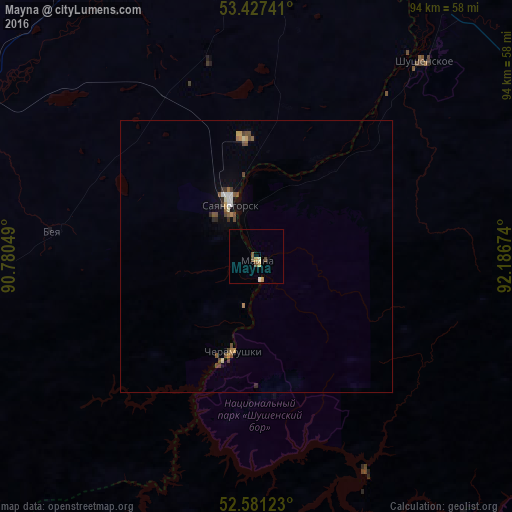
Mayna night lights from space
Night Light of Mayna (Khakasiya Republic) from space (Russia) Src. Average luminocity for 10x10km area is 3.9709% and for 50x50km: 1.1458%.
Analysis of Mayna night lights 2016
Square area 10x10 km:
 0.26%
0.26%90-99
0.26%80-89
1.06%70-79
1.06%60-69
0%50-59
0.53%40-49
1.59%30-39
0%20-29
0%10-19
0%0-9
95.24%Square area 50x50 km:
0.1%90-99
0.13%80-89
0.09%70-79
0.16%60-69
0.13%50-59
0.22%40-49
0.39%30-39
0.13%20-29
0.08%10-19
0.25%0-9
98.3%Clear (daylight) street map image can be seen on geolist.org.
Map coordinates:
53° 25' 38.7" North, 90° 46' 49.8" East
53° 0' 23" North, 91° 29' 1" East
52° 34' 52.4" North, 92° 11' 12.3" East
Some cities around Mayna sort by population:
• Abakan
78.9 km =49 mi,  357°
357°
• Sayanogorsk
10.6 km =6.6 mi,  328°
328°
• Shushenskoye
46.5 km =28.9 mi,  40°
40°
• Cherëmushki
17.3 km =10.7 mi,  194°
194°
• Belyy Yar
66.7 km =41.4 mi,  354°
354°
• Yermakovskoye
68.1 km =42.3 mi,  63°
63°
• Askiz
65.5 km =40.7 mi,  282°
282°
• Beya
38.5 km =23.9 mi, 277°
1499158 (p: 5,287)
Sources (retrieved 2019-11-25):
» Earth at Night: Flat Maps 2012, 2016