Taganrog night lights from space
Night Light of Taganrog (Rostov) from space (Russia) Src. Average luminocity for 10x10km area is 72.0952% and for 50x50km: 4.7343%.
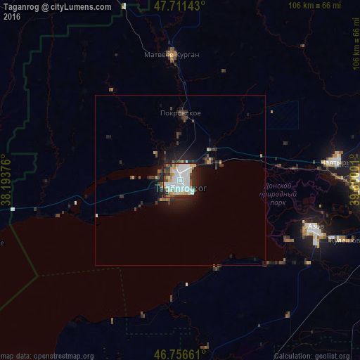
Analysis of Taganrog night lights 2016
Square area 10x10 km:
 28.57%
90-99
18.75%80-89
7.89%70-79
6.7%60-69
4.17%50-59
5.21%40-49
4.61%30-39
5.36%20-29
14.43%10-19
4.32%0-9
0%Square area 50x50 km:
1.12%90-99
0.84%80-89
0.37%70-79
0.37%60-69
0.29%50-59
0.46%40-49
0.68%30-39
0.76%20-29
1.75%10-19
3.13%0-9
90.23%Clear (daylight) street map image can be seen on geolist.org.
Map coordinates:
47° 42' 41.1" North, 38° 11' 37.5" East
47° 14' 10.2" North, 38° 53' 48.8" East
46° 45' 23.8" North, 39° 36' 0" East
Some cities around Taganrog sort by population:
• Rostov-na-Donu
62.4 km =38.8 mi,  90°
90°
• Azov
41.8 km =26 mi,  109°
109°
• Persianovka
51.1 km =31.8 mi,  50°
50°
• Chaltyr
44.5 km =27.7 mi,  83°
83°
• Kuleshovka
53 km =32.9 mi, 109°
• Matveyev Kurgan
36.6 km =22.7 mi,  356°
356°
• Pokrovskoye
20 km =12.4 mi,  0°
0°
• Novoazovs'k, UA
62.8 km =39 mi,  257°
257°
484907 (p: 279,056)
Sources (retrieved 2019-11-25):
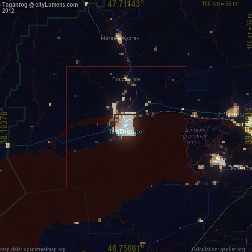
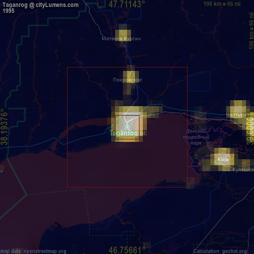
» NASA, Earths city lights 1995
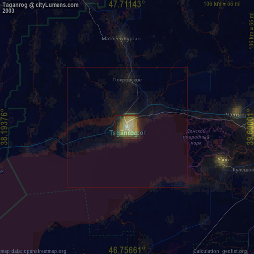
» NASA city lights 2003
» Earth at Night: Flat Maps 2012, 2016