Svetlograd night lights from space
Night Light of Svetlograd (Stavropol’ Kray) from space (Russia) Src. Average luminocity for 10x10km area is 6.6175% and for 50x50km: 0.3089%.
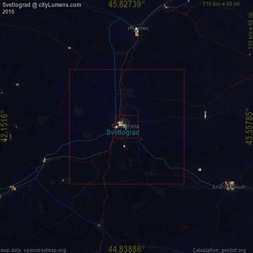
Analysis of Svetlograd night lights 2016
Square area 10x10 km:
 0%
0%90-99
1.27%80-89
0.63%70-79
0.32%60-69
1.27%50-59
1.27%40-49
1.9%30-39
0.79%20-29
2.86%10-19
1.75%0-9
87.94%Square area 50x50 km:
0.02%90-99
0.06%80-89
0.02%70-79
0.01%60-69
0.05%50-59
0.05%40-49
0.07%30-39
0.03%20-29
0.11%10-19
0.08%0-9
99.49%Clear (daylight) street map image can be seen on geolist.org.
Map coordinates:
45° 49' 38.6" North, 42° 9' 5.8" East
45° 20' 7" North, 42° 51' 17" East
44° 50' 19.9" North, 43° 33' 28.3" East
Some cities around Svetlograd sort by population:
• Mikhaylovsk
68.9 km =42.8 mi,  250°
250°
• Blagodarnyy
52.7 km =32.7 mi,  120°
120°
• Ipatovo
42.7 km =26.5 mi,  5°
5°
• Pelagiada
66.6 km =41.4 mi,  257°
257°
• Trunovskoye
58.6 km =36.4 mi,  286°
286°
• Konstantinovskoye
17.5 km =10.9 mi, 256°
• Gofitskoye
32.2 km =20 mi,  152°
152°
• Blagodatnoye
22.1 km =13.7 mi, 288°
485698 (p: 39,727)
Sources (retrieved 2019-11-25):
» Earth at Night: Flat Maps 2012, 2016