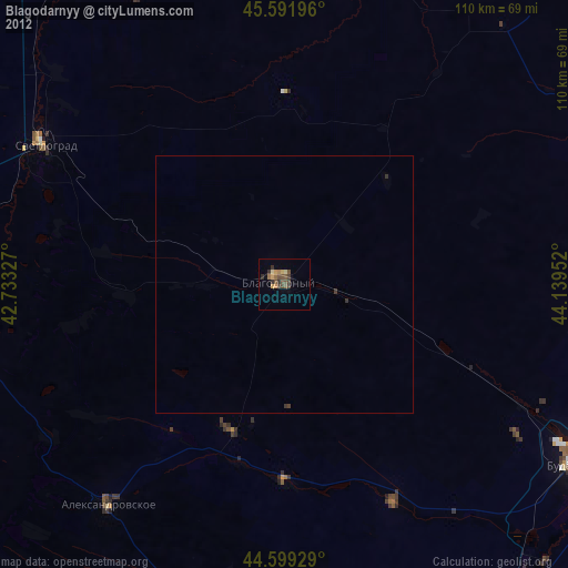
Blagodarnyy night lights from space
Night Light of Blagodarnyy (Stavropol’ Kray) from space (Russia) Src. Average luminocity for 10x10km area is 4.5348% and for 50x50km: 0.2761%.
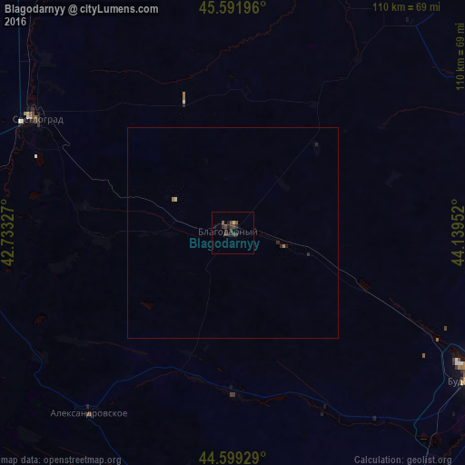
Analysis of Blagodarnyy night lights 2016
Square area 10x10 km:
 0%
0%90-99
0%80-89
0.61%70-79
0%60-69
0%50-59
1.52%40-49
2.27%30-39
2.42%20-29
1.82%10-19
2.88%0-9
88.48%Square area 50x50 km:
0%90-99
0%80-89
0.05%70-79
0%60-69
0.05%50-59
0.06%40-49
0.09%30-39
0.1%20-29
0.17%10-19
0.14%0-9
99.35%Clear (daylight) street map image can be seen on geolist.org.
Map coordinates:
45° 35' 31.1" North, 42° 43' 59.8" East
45° 5' 52" North, 43° 26' 11" East
44° 35' 57.4" North, 44° 8' 22.3" East
Some cities around Blagodarnyy sort by population:
• Budënnovsk
67.2 km =41.8 mi,  121°
121°
• Svetlograd
52.7 km =32.7 mi,  300°
300°
• Aleksandrovskoye
54.7 km =34 mi,  218°
218°
• Novoselitskoye
38.6 km =24 mi,  179°
179°
• Konstantinovskoye
66.5 km =41.3 mi,  289°
289°
• Gofitskoye
30.7 km =19.1 mi,  266°
266°
• Chernolesskoye
47.8 km =29.7 mi,  152°
152°
• Sotnikovskoye
28.7 km =17.8 mi,  111°
111°
576172 (p: 35,995)
Sources (retrieved 2019-11-25):
» Earth at Night: Flat Maps 2012, 2016