Sosnovo-Ozerskoye night lights from space
Night Light of Sosnovo-Ozerskoye (Buryatiya Republic) from space (Russia) Src. Average luminocity for 10x10km area is 2.3413% and for 50x50km: 0.0929%.
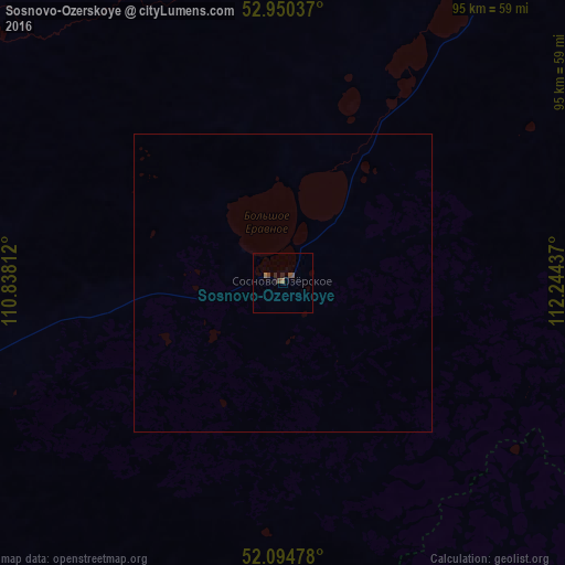
Analysis of Sosnovo-Ozerskoye night lights 2016
Square area 10x10 km:
 0%
0%90-99
0%80-89
0%70-79
0%60-69
1.06%50-59
0.66%40-49
1.19%30-39
0.26%20-29
1.06%10-19
0.53%0-9
95.24%Square area 50x50 km:
0%90-99
0%80-89
0%70-79
0%60-69
0.04%50-59
0.03%40-49
0.05%30-39
0.01%20-29
0.04%10-19
0.02%0-9
99.81%Clear (daylight) street map image can be seen on geolist.org.
Map coordinates:
52° 57' 1.3" North, 110° 50' 17.2" East
52° 31' 28.8" North, 111° 32' 28.5" East
52° 5' 41.2" North, 112° 14' 39.7" East
Some cities around Sosnovo-Ozerskoye sort by population:
• Chita
144.1 km =89.5 mi,  112°
112°
• Khilok
148.2 km =92.1 mi,  209°
209°
• Atamanovka
156.9 km =97.5 mi, 114°
• Khorinsk
126.3 km =78.5 mi,  251°
251°
• Domna
130.3 km =81 mi,  122°
122°
• Kizhinga
134.4 km =83.5 mi,  235°
235°
• Ulety
145.1 km =90.2 mi,  153°
153°
• Bada
170.7 km =106.1 mi,  222°
222°
2016216 (p: 5,840)
Sources (retrieved 2019-11-25):
» Earth at Night: Flat Maps 2012, 2016