Kizhinga night lights from space
Night Light of Kizhinga (Buryatiya Republic) from space (Russia) Src. Average luminocity for 10x10km area is 0.2594% and for 50x50km: 0.0103%.
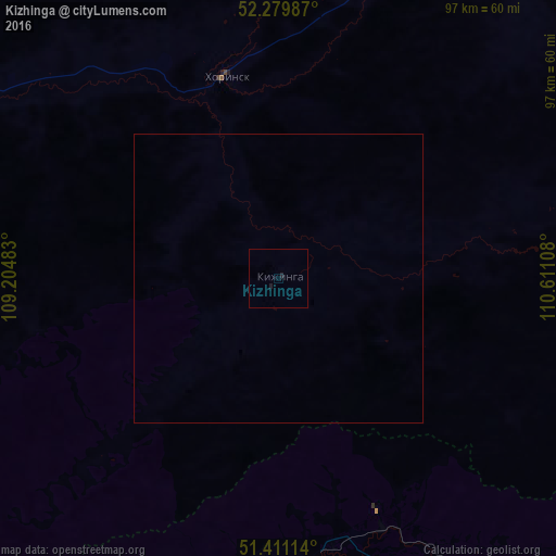
Analysis of Kizhinga night lights 2016
Square area 10x10 km:
 0%
0%90-99
0%80-89
0%70-79
0%60-69
0%50-59
0%40-49
0%30-39
0%20-29
0.53%10-19
0.53%0-9
98.93%Square area 50x50 km:
0%90-99
0%80-89
0%70-79
0%60-69
0%50-59
0%40-49
0%30-39
0%20-29
0.02%10-19
0.02%0-9
99.96%Clear (daylight) street map image can be seen on geolist.org.
Map coordinates:
52° 16' 47.5" North, 109° 12' 17.4" East
51° 50' 51.4" North, 109° 54' 28.6" East
51° 24' 40.1" North, 110° 36' 39.9" East
Some cities around Kizhinga sort by population:
• Ulan-Ude
158.1 km =98.2 mi,  269°
269°
• Petrovsk-Zabaykal’skiy
97.3 km =60.5 mi,  229°
229°
• Khilok
65.9 km =40.9 mi,  144°
144°
• Onokhoy
126.7 km =78.7 mi, 274°
• Khorinsk
36.6 km =22.7 mi,  345°
345°
• Sosnovo-Ozerskoye
134.4 km =83.5 mi,  55°
55°
• Zaigrayevo
112.7 km =70 mi, 269°
• Bada
50.9 km =31.6 mi,  183°
183°
2022003 (p: 6,459)
Sources (retrieved 2019-11-25):
» Earth at Night: Flat Maps 2012, 2016