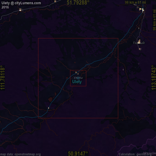
Ulety night lights from space
Night Light of Ulety (Transbaikal Territory) from space (Russia) Src. Average luminocity for 10x10km area is 0.4972% and for 50x50km: 0.0294%.
Analysis of Ulety night lights 2016
Square area 10x10 km:
 0%
0%90-99
0%80-89
0%70-79
0%60-69
0%50-59
0.56%40-49
0%30-39
0%20-29
0.56%10-19
0%0-9
98.88%Square area 50x50 km:
0%90-99
0%80-89
0%70-79
0%60-69
0%50-59
0.04%40-49
0%30-39
0%20-29
0.02%10-19
0%0-9
99.94%Clear (daylight) street map image can be seen on geolist.org.
Map coordinates:
51° 47' 34.4" North, 111° 46' 52.2" East
51° 21' 21.2" North, 112° 29' 3.5" East
50° 54' 52.9" North, 113° 11' 14.7" East
Some cities around Ulety sort by population:
• Chita
102.7 km =63.8 mi,  42°
42°
• Karymskoye
132.4 km =82.3 mi,  77°
77°
• Khilok
140 km =87 mi,  270°
270°
• Novokruchininskiy
101.1 km =62.8 mi,  61°
61°
• Atamanovka
102 km =63.4 mi,  50°
50°
• Darasun
108.6 km =67.5 mi,  71°
71°
• Domna
76 km =47.2 mi, 37°
• Dul’durga
108.3 km =67.3 mi,  134°
134°
2014369 (p: 6,075)
Sources (retrieved 2019-11-25):
» Earth at Night: Flat Maps 2012, 2016