Slavyanka night lights from space
Night Light of Slavyanka (Primorskiy (Maritime) Kray) from space (Russia) Src. Average luminocity for 10x10km area is 3.7556% and for 50x50km: 0.1848%.
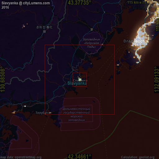
Analysis of Slavyanka night lights 2016
Square area 10x10 km:
 0%
0%90-99
0.63%80-89
0.63%70-79
0.63%60-69
0.48%50-59
1.27%40-49
0.79%30-39
0%20-29
0.79%10-19
0.48%0-9
94.29%Square area 50x50 km:
0%90-99
0.03%80-89
0.03%70-79
0.03%60-69
0.02%50-59
0.05%40-49
0.08%30-39
0.01%20-29
0.06%10-19
0.02%0-9
99.68%Clear (daylight) street map image can be seen on geolist.org.
Map coordinates:
43° 22' 38.5" North, 130° 41' 6.3" East
42° 51' 50.9" North, 131° 23' 17.5" East
42° 20' 47.8" North, 132° 5' 28.8" East
Some cities around Slavyanka sort by population:
• Vladivostok
47.7 km =29.6 mi,  55°
55°
• Trudovoye
73.4 km =45.6 mi,  48°
48°
• Uglovoye
76.8 km =47.7 mi, 47°
• Dunay
77.2 km =48 mi,  88°
88°
• Tavrichanka
64.2 km =39.9 mi,  36°
36°
• Vol’no-Nadezhdinskoye
75.3 km =46.8 mi, 41°
• Novyy
75.7 km =47 mi, 42°
• Russkiy
42.2 km =26.2 mi,  65°
65°
2016430 (p: 14,687)
Sources (retrieved 2019-11-25):
» Earth at Night: Flat Maps 2012, 2016