Agryz night lights from space
Night Light of Agryz (Tatarstan Republic) from space (Russia) Src. Average luminocity for 10x10km area is 10.417% and for 50x50km: 0.7048%.
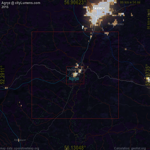
Analysis of Agryz night lights 2016
Square area 10x10 km:
 0.8%
0.8%90-99
1.02%80-89
1.36%70-79
1.59%60-69
2.16%50-59
1.93%40-49
1.7%30-39
1.25%20-29
0%10-19
2.61%0-9
85.57%Square area 50x50 km:
0.04%90-99
0.05%80-89
0.08%70-79
0.09%60-69
0.14%50-59
0.15%40-49
0.15%30-39
0.12%20-29
0%10-19
0.14%0-9
99.05%Clear (daylight) street map image can be seen on geolist.org.
Map coordinates:
56° 54' 22.4" North, 52° 17' 28" East
56° 31' 13.2" North, 52° 59' 39.2" East
56° 7' 49.7" North, 53° 41' 50.5" East
Some cities around Agryz sort by population:
• Izhevsk
38.8 km =24.1 mi,  19°
19°
• Sarapul
49.6 km =30.8 mi,  95°
95°
• Mozhga
47.8 km =29.7 mi,  259°
259°
• Malaya Purga
4.1 km =2.5 mi,  8°
8°
• Alnashi
48.8 km =30.3 mi,  220°
220°
• Sigayevo
49.2 km =30.6 mi, 102°
• Vavozh
70.9 km =44.1 mi,  293°
293°
• Karakulino
71.6 km =44.5 mi,  142°
142°
583983 (p: 18,601)
Sources (retrieved 2019-11-25):
» Earth at Night: Flat Maps 2012, 2016