Shadrinsk night lights from space
Night Light of Shadrinsk (Kurgan Oblast) from space (Russia) Src. Average luminocity for 10x10km area is 28.9785% and for 50x50km: 1.3031%.
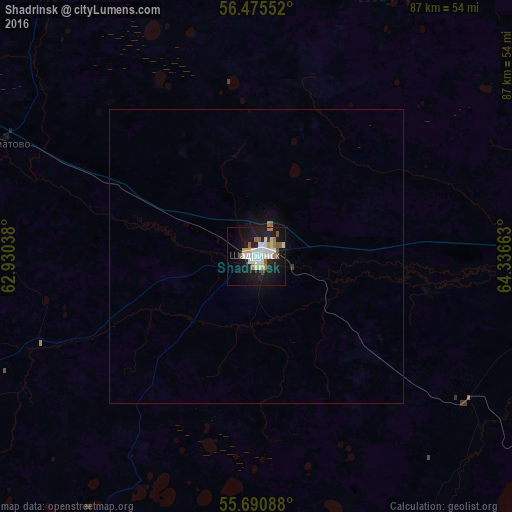

Analysis of Shadrinsk night lights 2016
Square area 10x10 km:
 5.5%
5.5%90-99
8.37%80-89
2.03%70-79
1.79%60-69
3.47%50-59
3.59%40-49
1.56%30-39
0.36%20-29
5.62%10-19
32.42%0-9
35.29%Square area 50x50 km:
0.22%90-99
0.33%80-89
0.08%70-79
0.07%60-69
0.17%50-59
0.15%40-49
0.06%30-39
0.03%20-29
0.22%10-19
1.47%0-9
97.18%Clear (daylight) street map image can be seen on geolist.org.
Map coordinates:
56° 28' 31.9" North, 62° 55' 49.4" East
56° 5' 6.7" North, 63° 38' 0.6" East
55° 41' 27.2" North, 64° 20' 11.9" East
Some cities around Shadrinsk sort by population:
• Shumikha
97.8 km =60.8 mi,  192°
192°
• Kataysk
68.8 km =42.8 mi,  289°
289°
• Dalmatovo
47.3 km =29.4 mi, 294°
• Pyshma
99.2 km =61.6 mi,  346°
346°
• Mishkino
84.9 km =52.8 mi,  167°
167°
• Yurgamysh
94.5 km =58.7 mi,  146°
146°
• Shatrovo
78.3 km =48.7 mi,  51°
51°
• Ikovka
97.1 km =60.3 mi,  123°
123°
1492517 (p: 79,479)
Sources (retrieved 2019-11-25):
» NASA, Earths city lights 1995
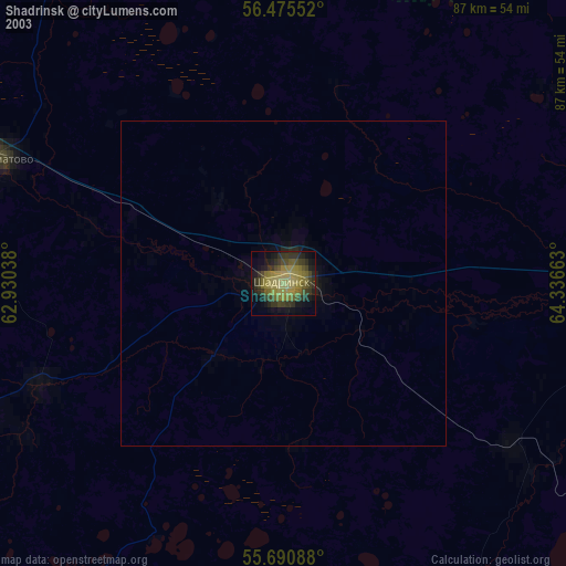
» NASA city lights 2003
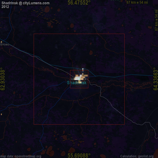
» Earth at Night: Flat Maps 2012, 2016