Vsevolozhsk night lights from space
Night Light of Vsevolozhsk (Leningradskaya Oblast') from space (Russia) Src. Average luminocity for 10x10km area is 46.8788% and for 50x50km: 35.228%.
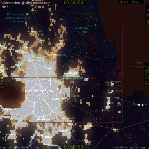
Analysis of Vsevolozhsk night lights 2016
Square area 10x10 km:
 8.23%
8.23%90-99
12.01%80-89
4.98%70-79
3.14%60-69
8.66%50-59
3.46%40-49
1.62%30-39
12.01%20-29
19.48%10-19
23.92%0-9
2.49%Square area 50x50 km:
18.92%90-99
5.91%80-89
2.22%70-79
2.73%60-69
3.1%50-59
1.07%40-49
0.96%30-39
2.35%20-29
4.46%10-19
7.43%0-9
50.85%Clear (daylight) street map image can be seen on geolist.org.
Map coordinates:
60° 21' 52.8" North, 29° 58' 12.1" East
60° 0' 54.4" North, 30° 40' 23.3" East
59° 39' 42.7" North, 31° 22' 34.6" East
Some cities around Vsevolozhsk sort by population:
• Kalininskiy
15.9 km =9.9 mi,  262°
262°
• Krasnogvargeisky
11.9 km =7.4 mi,  246°
246°
• Akademicheskoe
15.5 km =9.6 mi,  269°
269°
• Grazhdanka
15.1 km =9.4 mi,  278°
278°
• Novoye Devyatkino
11.8 km =7.3 mi,  297°
297°
• Koltushi
9.6 km =6 mi,  189°
189°
• Murino
12.8 km =8 mi,  286°
286°
• Romanovka
4 km =2.5 mi,  34°
34°
471101 (p: 48,224)
Sources (retrieved 2019-11-25):
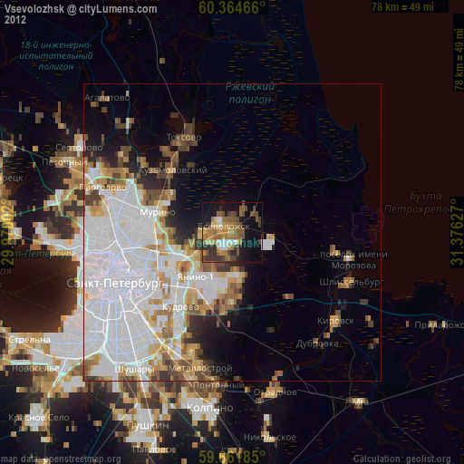
» Earth at Night: Flat Maps 2012, 2016