Shilka night lights from space
Night Light of Shilka (Transbaikal Territory) from space (Russia) Src. Average luminocity for 10x10km area is 2.1658% and for 50x50km: 0.1658%.
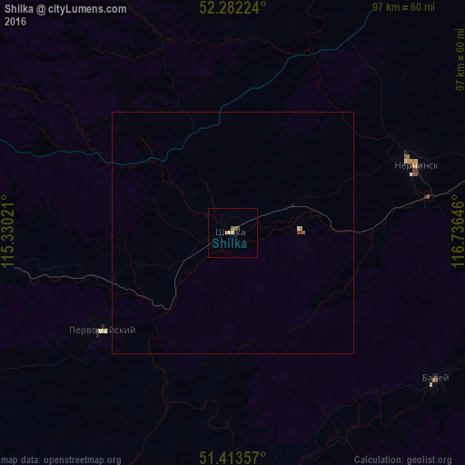
Analysis of Shilka night lights 2016
Square area 10x10 km:
 0%
0%90-99
0%80-89
0.13%70-79
0.94%60-69
0.53%50-59
0.53%40-49
1.07%30-39
0%20-29
0%10-19
0%0-9
96.79%Square area 50x50 km:
0.01%90-99
0.02%80-89
0.01%70-79
0.06%60-69
0.03%50-59
0.05%40-49
0.07%30-39
0%20-29
0%10-19
0.02%0-9
99.75%Clear (daylight) street map image can be seen on geolist.org.
Map coordinates:
52° 16' 56.1" North, 115° 19' 48.8" East
51° 51' 0" North, 116° 1' 60" East
51° 24' 48.9" North, 116° 44' 11.3" East
Some cities around Shilka sort by population:
• Nerchinsk
40.5 km =25.2 mi,  68°
68°
• Baley
51 km =31.7 mi,  125°
125°
• Pervomayskiy
34.5 km =21.4 mi,  234°
234°
• Chernyshevsk
100.4 km =62.4 mi,  41°
41°
• Mogoytuy
99.6 km =61.9 mi, 230°
• Olovyannaya
105.2 km =65.4 mi,  197°
197°
• Kokuy
111.3 km =69.2 mi, 69°
• Vershino-Darasunskiy
67 km =41.6 mi,  328°
328°
2016708 (p: 14,132)
Sources (retrieved 2019-11-25):
» Earth at Night: Flat Maps 2012, 2016