Olovyannaya night lights from space
Night Light of Olovyannaya (Transbaikal Territory) from space (Russia) Src. Average luminocity for 10x10km area is 1.0574% and for 50x50km: 0.2055%.
Analysis of Olovyannaya night lights 2016
Square area 10x10 km:
 0%
0%90-99
0%80-89
0%70-79
0%60-69
0%50-59
0.14%40-49
0.98%30-39
0%20-29
1.12%10-19
1.12%0-9
96.64%Square area 50x50 km:
0.01%90-99
0.02%80-89
0%70-79
0.03%60-69
0.02%50-59
0.05%40-49
0.09%30-39
0.07%20-29
0.09%10-19
0.08%0-9
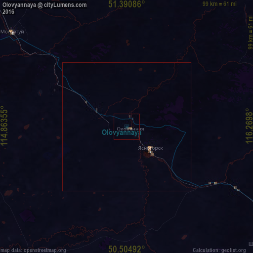
99.55%Clear (daylight) street map image can be seen on geolist.org.
Map coordinates:
51° 23' 27.1" North, 114° 51' 48.8" East
50° 57' 0" North, 115° 34' 0" East
50° 30' 17.7" North, 116° 16' 11.3" East
Some cities around Olovyannaya sort by population:
• Borzya
91.9 km =57.1 mi,  133°
133°
• Aginskoye
74.4 km =46.2 mi,  282°
282°
• Nerchinsk
134.8 km =83.8 mi,  31°
31°
• Shilka
105.2 km =65.4 mi,  17°
17°
• Baley
102.2 km =63.5 mi,  46°
46°
• Pervomayskiy
80.2 km =49.8 mi,  2°
2°
• Karymskoye
112.5 km =69.9 mi,  311°
311°
• Mogoytuy
58.6 km =36.4 mi, 309°
2018498 (p: 8,247)
Sources (retrieved 2019-11-25):
» Earth at Night: Flat Maps 2012, 2016