Vershino-Darasunskiy night lights from space
Night Light of Vershino-Darasunskiy (Transbaikal Territory) from space (Russia) Src. Average luminocity for 10x10km area is 1.2462% and for 50x50km: 0.0513%.
Analysis of Vershino-Darasunskiy night lights 2016
Square area 10x10 km:
 0%
0%90-99
0%80-89
0.51%70-79
0%60-69
0%50-59
0.51%40-49
0.51%30-39
0%20-29
0.51%10-19
0%0-9
97.98%Square area 50x50 km:
0%90-99
0%80-89
0.02%70-79
0%60-69
0%50-59
0.02%40-49
0.02%30-39
0%20-29
0.02%10-19
0%0-9
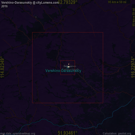
99.92%Clear (daylight) street map image can be seen on geolist.org.
Map coordinates:
52° 47' 35.8" North, 114° 49' 24.6" East
52° 21' 57.7" North, 115° 31' 35.8" East
51° 56' 4.6" North, 116° 13' 47.1" East
Some cities around Vershino-Darasunskiy sort by population:
• Nerchinsk
83.7 km =52 mi,  120°
120°
• Shilka
67 km =41.6 mi,  148°
148°
• Baley
115.6 km =71.8 mi,  138°
138°
• Pervomayskiy
77.7 km =48.3 mi,  175°
175°
• Chernyshevsk
102.5 km =63.7 mi,  80°
80°
• Karymskoye
115.9 km =72 mi,  224°
224°
• Mogoytuy
127.5 km =79.2 mi,  199°
199°
• Darasun
132.1 km =82.1 mi,  233°
233°
2013442 (p: 6,451)
Sources (retrieved 2019-11-25):
» Earth at Night: Flat Maps 2012, 2016