Baley night lights from space
Night Light of Baley (Transbaikal Territory) from space (Russia) Src. Average luminocity for 10x10km area is 1.3944% and for 50x50km: 0.0555%.
Analysis of Baley night lights 2016
Square area 10x10 km:
 0%
0%90-99
0%80-89
0.53%70-79
0%60-69
0.27%50-59
0.67%40-49
0.13%30-39
0%20-29
0.4%10-19
0.67%0-9
97.33%Square area 50x50 km:
0%90-99
0%80-89
0.02%70-79
0%60-69
0.01%50-59
0.03%40-49
0.01%30-39
0%20-29
0.02%10-19
0.03%0-9
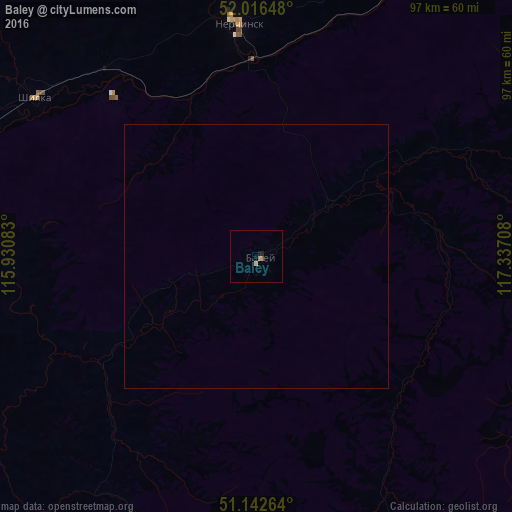
99.89%Clear (daylight) street map image can be seen on geolist.org.
Map coordinates:
52° 0' 59.3" North, 115° 55' 51" East
51° 34' 54" North, 116° 38' 2.2" East
51° 8' 33.5" North, 117° 20' 13.5" East
Some cities around Baley sort by population:
• Nerchinsk
44.8 km =27.8 mi,  355°
355°
• Shilka
51 km =31.7 mi,  305°
305°
• Pervomayskiy
70.3 km =43.7 mi,  278°
278°
• Chernyshevsk
107.8 km =67 mi,  14°
14°
• Olovyannaya
102.2 km =63.5 mi,  226°
226°
• Kokuy
93.9 km =58.3 mi,  42°
42°
• Sretensk
104.5 km =64.9 mi, 44°
• Vershino-Darasunskiy
115.6 km =71.8 mi,  318°
318°
2027184 (p: 13,404)
Sources (retrieved 2019-11-25):
» Earth at Night: Flat Maps 2012, 2016