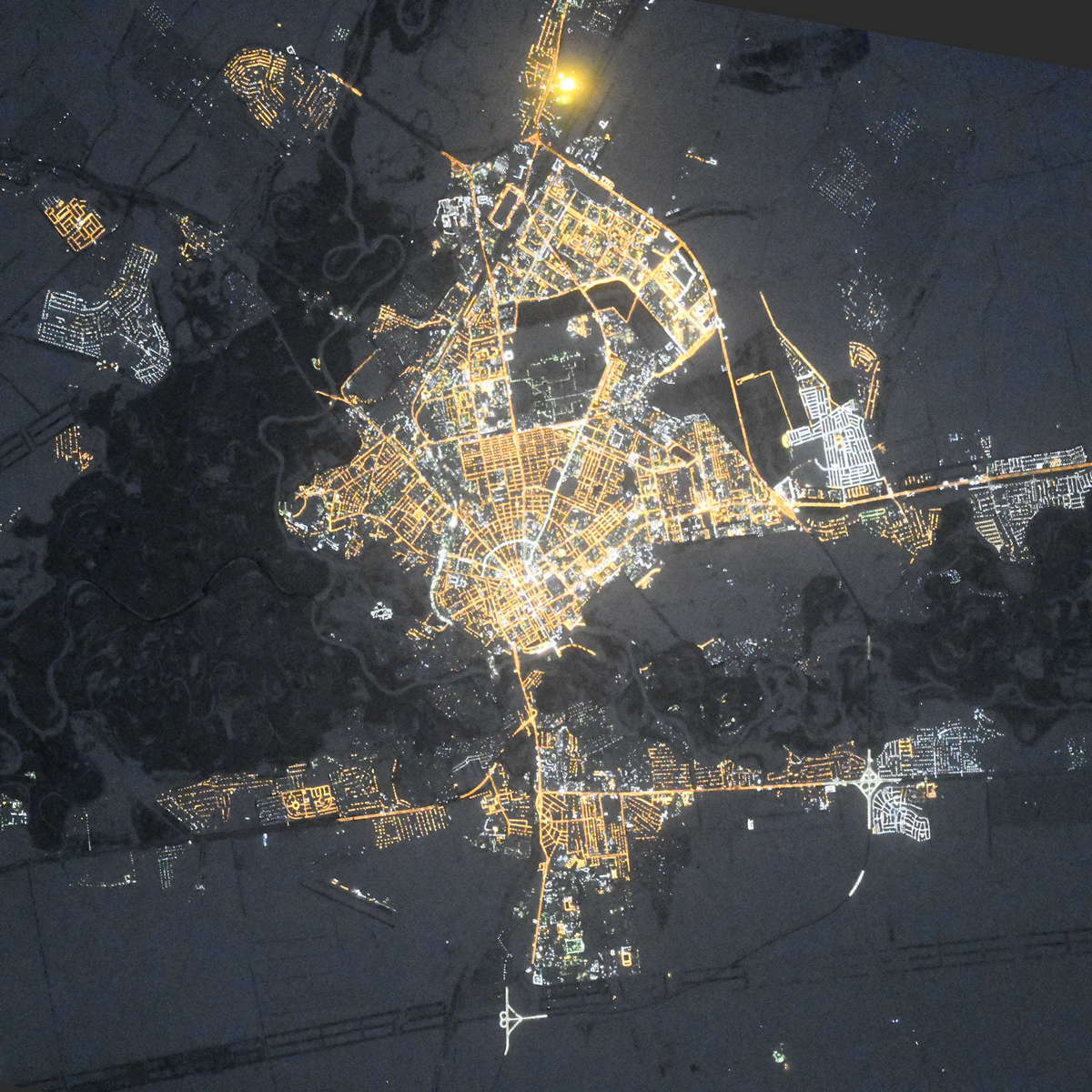
Orenburg night lights from space
Night Light of Orenburg (Orenburg Oblast) from space (Russia) Src. Average luminocity for 10x10km area is 74.993% and for 50x50km: 10.6022%.
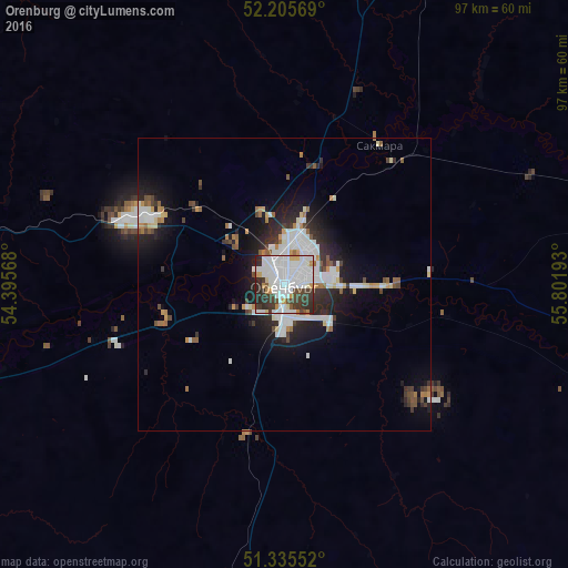
Analysis of Orenburg night lights 2016
Square area 10x10 km:
 35.57%
90-99
21.01%80-89
2.66%70-79
5.32%60-69
1.26%50-59
1.54%40-49
7.7%30-39
14.71%20-29
9.94%10-19
0.28%0-9
0%Square area 50x50 km:
2.88%90-99
2.37%80-89
0.57%70-79
0.86%60-69
0.72%50-59
0.94%40-49
1.05%30-39
1.62%20-29
3.05%10-19
5.64%0-9
80.29%Clear (daylight) street map image can be seen on geolist.org.
Map coordinates:
52° 12' 20.5" North, 54° 23' 44.4" East
51° 46' 21.7" North, 55° 5' 55.7" East
51° 20' 7.9" North, 55° 48' 6.9" East
Fantastic image of Orenburg from space taken by astronauts [src2], but I don't have information about it's orientation, scale or angle. If necessary, it was rotated manually, so North points approximately to upper direction. Click to zoom in:
Some cities around Orenburg sort by population:
• Sol’-Iletsk
68.2 km =42.4 mi,  186°
186°
• Saraktash
86.8 km =53.9 mi,  88°
88°
• Tyul’gan
96.5 km =60 mi,  49°
49°
• Perevolotskiy
63.3 km =39.3 mi,  280°
280°
• Chingirlau, KZ
102.8 km =63.9 mi,  223°
223°
• Krasnokholm
67.8 km =42.1 mi,  253°
253°
• Belyayevka
100.2 km =62.3 mi,  114°
114°
• Nezhinka
18.6 km =11.6 mi, 91°
515003 (p: 550,204)
Sources (retrieved 2019-11-25):
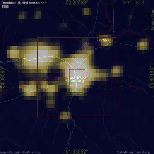
» NASA, Earths city lights 1995
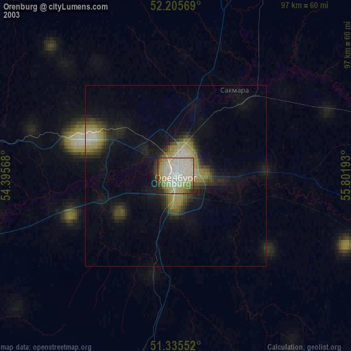
» NASA city lights 2003
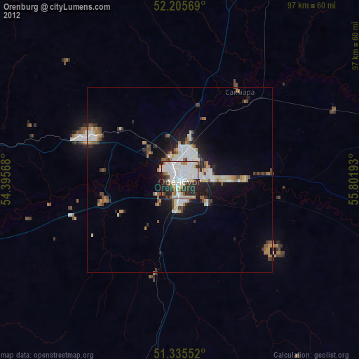
» Earth at Night: Flat Maps 2012, 2016
Src.2: picture by Oleg Kononenko, Roscosmos, retrieved 2019-11-29