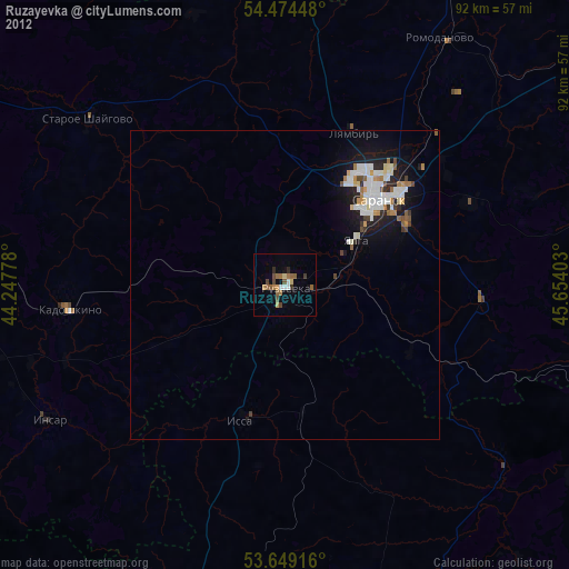
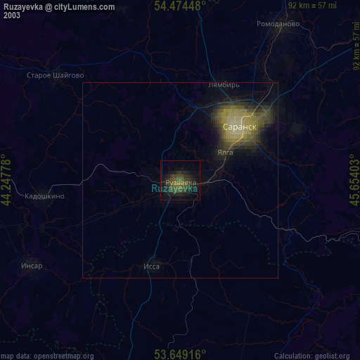
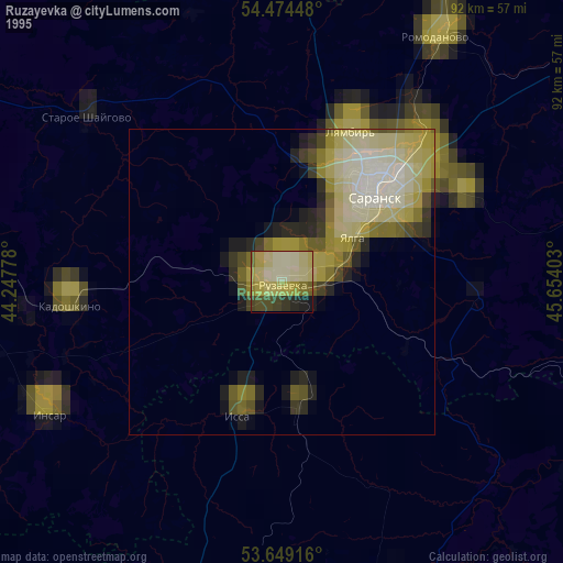
Ruzayevka night lights from space
Night Light of Ruzayevka (Mordoviya Republic) from space (Russia) Src. Average luminocity for 10x10km area is 19.2083% and for 50x50km: 5.9834%.
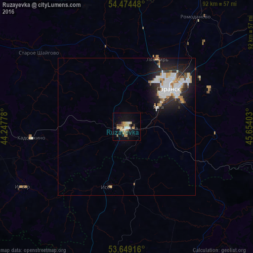
Analysis of Ruzayevka night lights 2016
Square area 10x10 km:
 1.77%
1.77%90-99
2.4%80-89
3.41%70-79
2.9%60-69
3.66%50-59
1.52%40-49
3.66%30-39
1.01%20-29
0.38%10-19
18.18%0-9
61.11%Square area 50x50 km:
1.44%90-99
1.43%80-89
0.38%70-79
0.65%60-69
0.57%50-59
0.33%40-49
0.54%30-39
0.64%20-29
1.76%10-19
3.85%0-9
88.4%Clear (daylight) street map image can be seen on geolist.org.
Map coordinates:
54° 28' 28.1" North, 44° 14' 52" East
54° 3' 49.9" North, 44° 57' 3.2" East
53° 38' 57" North, 45° 39' 14.5" East
Some cities around Ruzayevka sort by population:
• Saransk
19.8 km =12.3 mi,  47°
47°
• Romodanovo
47.3 km =29.4 mi,  31°
31°
• Lukhovka
22.1 km =13.7 mi,  64°
64°
• Insar
43.7 km =27.2 mi,  239°
239°
• Lyambir’
26.7 km =16.6 mi, 25°
• Lunino
55.5 km =34.5 mi,  160°
160°
• Issa
22.3 km =13.9 mi,  195°
195°
• Nikolayevka
15.5 km =9.6 mi, 54°
500299 (p: 49,311)
Sources (retrieved 2019-11-25):
» NASA, Earths city lights 1995
» NASA city lights 2003
» Earth at Night: Flat Maps 2012, 2016