Insar night lights from space
Night Light of Insar (Mordoviya Republic) from space (Russia) Src. Average luminocity for 10x10km area is 1.8095% and for 50x50km: 0.1569%.
Analysis of Insar night lights 2016
Square area 10x10 km:
 0%
0%90-99
0%80-89
0%70-79
0%60-69
1.06%50-59
1.06%40-49
0.26%30-39
0.53%20-29
0.26%10-19
0%0-9
96.83%Square area 50x50 km:
0%90-99
0.04%80-89
0%70-79
0.02%60-69
0.06%50-59
0.06%40-49
0.01%30-39
0.02%20-29
0.01%10-19
0%0-9
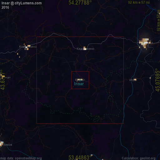
99.78%Clear (daylight) street map image can be seen on geolist.org.
Map coordinates:
54° 16' 40.4" North, 43° 40' 14.5" East
53° 51' 55.1" North, 44° 22' 25.8" East
53° 26' 55.1" North, 45° 4' 37" East
Some cities around Insar sort by population:
• Saransk
63.2 km =39.3 mi,  55°
55°
• Ruzayevka
43.7 km =27.2 mi, 59°
• Nizhniy Lomov
59.1 km =36.7 mi,  230°
230°
• Kovylkino
35.7 km =22.2 mi,  302°
302°
• Mokshan
50.2 km =31.2 mi,  161°
161°
• Lunino
63.8 km =39.6 mi,  118°
118°
• Issa
31.7 km =19.7 mi,  88°
88°
• Nikolayevka
59.2 km =36.8 mi, 58°
556318 (p: 8,837)
Sources (retrieved 2019-11-25):
» Earth at Night: Flat Maps 2012, 2016