Lyambir’ night lights from space
Night Light of Lyambir’ (Mordoviya Republic) from space (Russia) Src. Average luminocity for 10x10km area is 11.6817% and for 50x50km: 5.8883%.
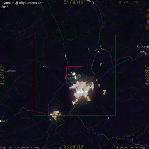
Analysis of Lyambir’ night lights 2016
Square area 10x10 km:
 0.5%
0.5%90-99
0.5%80-89
0.5%70-79
1.5%60-69
1.75%50-59
1.63%40-49
0.63%30-39
1.88%20-29
10.03%10-19
16.29%0-9
64.79%Square area 50x50 km:
1.4%90-99
1.43%80-89
0.32%70-79
0.69%60-69
0.54%50-59
0.4%40-49
0.57%30-39
0.63%20-29
1.74%10-19
3.45%0-9
88.83%Clear (daylight) street map image can be seen on geolist.org.
Map coordinates:
54° 41' 24.6" North, 44° 25' 18.6" East
54° 16' 54.2" North, 45° 7' 29.8" East
53° 52' 9.1" North, 45° 49' 41.1" East
Some cities around Lyambir’ sort by population:
• Saransk
11.4 km =7.1 mi,  163°
163°
• Ruzayevka
26.7 km =16.6 mi,  205°
205°
• Pochinki
49.3 km =30.6 mi,  340°
340°
• Romodanovo
20.9 km =13 mi,  39°
39°
• Chamzinka
44.8 km =27.8 mi,  72°
72°
• Lukhovka
17.1 km =10.6 mi,  149°
149°
• Issa
48.9 km =30.4 mi,  200°
200°
• Nikolayevka
15.2 km =9.4 mi,  175°
175°
532895 (p: 8,274)
Sources (retrieved 2019-11-25):
» Earth at Night: Flat Maps 2012, 2016