Mikhaylovskoye night lights from space
Night Light of Mikhaylovskoye (Altai Krai) from space (Russia) Src. Average luminocity for 10x10km area is 0% and for 50x50km: 0%.
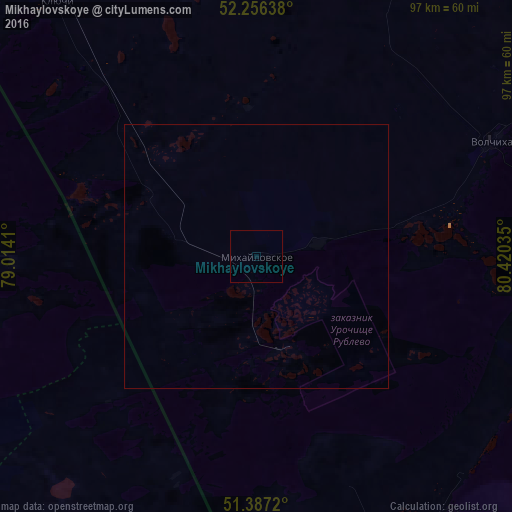
Analysis of Mikhaylovskoye night lights 2016
Square area 10x10 km:
 0%
0%90-99
0%80-89
0%70-79
0%60-69
0%50-59
0%40-49
0%30-39
0%20-29
0%10-19
0%0-9
100%Square area 50x50 km:
0%90-99
0%80-89
0%70-79
0%60-69
0%50-59
0%40-49
0%30-39
0%20-29
0%10-19
0%0-9
100%Clear (daylight) street map image can be seen on geolist.org.
Map coordinates:
52° 15' 23" North, 79° 0' 50.8" East
51° 49' 26" North, 79° 43' 2" East
51° 23' 13.9" North, 80° 25' 13.3" East
Some cities around Mikhaylovskoye sort by population:
• Rubtsovsk
108.3 km =67.3 mi,  108°
108°
• Kulunda
98.1 km =61 mi,  327°
327°
• Blagoveshchenka
112.7 km =70 mi,  5°
5°
• Volchikha
48.7 km =30.3 mi,  64°
64°
• Rodino
81.9 km =50.9 mi,  23°
23°
• Klyuchi
60.7 km =37.7 mi,  321°
321°
• Romanovo
135.6 km =84.3 mi,  49°
49°
• Veseloyarsk
113.1 km =70.3 mi,  121°
121°
1498775 (p: 11,467)
Sources (retrieved 2019-11-25):
» Earth at Night: Flat Maps 2012, 2016