Ramenskoye night lights from space
Night Light of Ramenskoye (Moscow Oblast) from space (Russia) Src. Average luminocity for 10x10km area is 46.193% and for 50x50km: 26.361%.
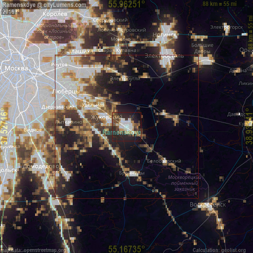
Analysis of Ramenskoye night lights 2016
Square area 10x10 km:
 8.02%
8.02%90-99
8.9%80-89
3.13%70-79
4.26%60-69
7.02%50-59
5.64%40-49
9.77%30-39
7.02%20-29
27.82%10-19
16.42%0-9
2.01%Square area 50x50 km:
5.82%90-99
4.85%80-89
2.28%70-79
2.7%60-69
3.56%50-59
3.17%40-49
3.83%30-39
4.7%20-29
7.89%10-19
11.26%0-9
49.92%Clear (daylight) street map image can be seen on geolist.org.
Map coordinates:
55° 57' 45" North, 37° 31' 37.8" East
55° 34' 1" North, 38° 13' 49" East
55° 10' 2.5" North, 38° 56' 0.3" East
Some cities around Ramenskoye sort by population:
• Zhukovskiy
7.6 km =4.7 mi,  294°
294°
• Bronnitsy
16.3 km =10.1 mi,  173°
173°
• Malakhovka
15.7 km =9.8 mi,  304°
304°
• Udel’naya
15.7 km =9.8 mi, 294°
• Bykovo
12.2 km =7.6 mi,  309°
309°
• Il’inskiy
9.1 km =5.7 mi, 309°
• Gzhel’
11.4 km =7.1 mi,  65°
65°
• Kratovo
4.7 km =2.9 mi,  315°
315°
502965 (p: 96,000)
Sources (retrieved 2019-11-25):
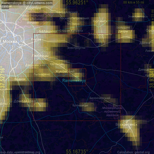
» NASA, Earths city lights 1995
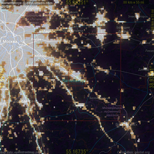
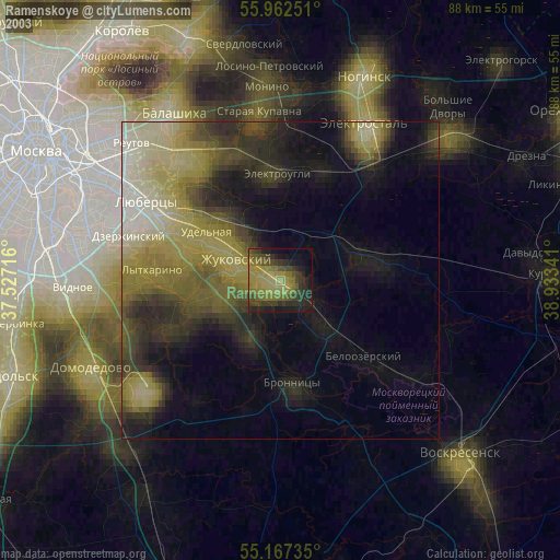
» NASA city lights 2003
» Earth at Night: Flat Maps 2012, 2016