Roslavl’ night lights from space
Night Light of Roslavl’ (Smolensk) from space (Russia) Src. Average luminocity for 10x10km area is 18.3743% and for 50x50km: 0.8335%.
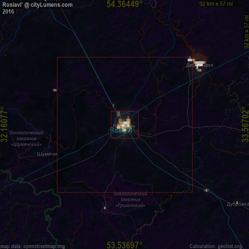
Analysis of Roslavl’ night lights 2016
Square area 10x10 km:
 1.32%
1.32%90-99
1.85%80-89
1.98%70-79
3.04%60-69
3.17%50-59
4.23%40-49
2.51%30-39
3.17%20-29
1.98%10-19
12.17%0-9
64.55%Square area 50x50 km:
0.09%90-99
0.09%80-89
0.07%70-79
0.11%60-69
0.12%50-59
0.17%40-49
0.1%30-39
0.13%20-29
0.08%10-19
0.46%0-9
98.56%Clear (daylight) street map image can be seen on geolist.org.
Map coordinates:
54° 21' 52.2" North, 32° 9' 38.8" East
53° 57' 10" North, 32° 51' 50" East
53° 32' 13.1" North, 33° 34' 1.3" East
Some cities around Roslavl’ sort by population:
• Desnogorsk
35 km =21.7 mi,  51°
51°
• Zhukovka
73.5 km =45.7 mi,  129°
129°
• Klimavichy, BY
70.8 km =44 mi,  237°
237°
• Kletnya
66.8 km =41.5 mi,  159°
159°
• Yel’nya
72.6 km =45.1 mi,  16°
16°
• Pochinok
57.5 km =35.7 mi,  331°
331°
• Dubrovka
51.3 km =31.9 mi,  124°
124°
• Seshcha
39.4 km =24.5 mi, 127°
501283 (p: 56,971)
Sources (retrieved 2019-11-25):
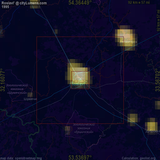
» NASA, Earths city lights 1995
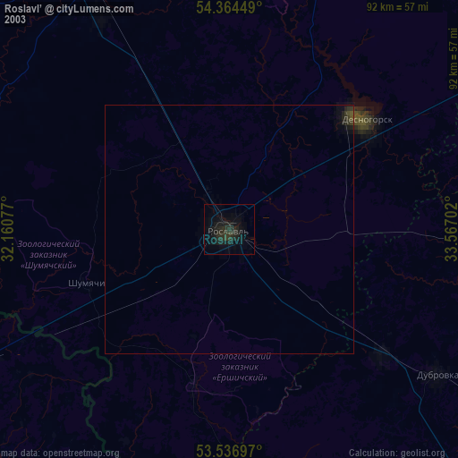
» NASA city lights 2003
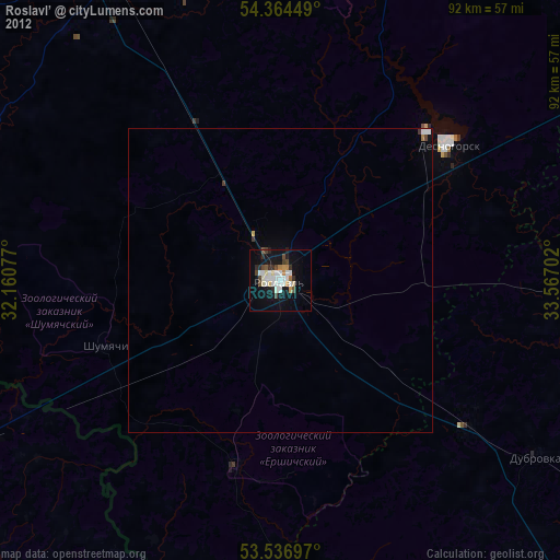
» Earth at Night: Flat Maps 2012, 2016