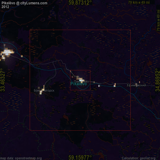
Pikalëvo night lights from space
Night Light of Pikalëvo (Leningradskaya Oblast') from space (Russia) Src. Average luminocity for 10x10km area is 17.5737% and for 50x50km: 1.1516%.
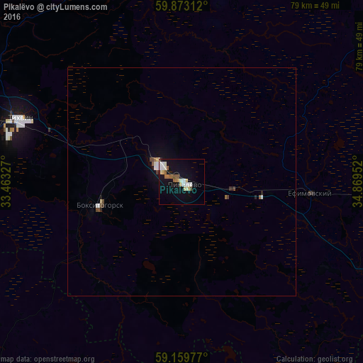
Analysis of Pikalëvo night lights 2016
Square area 10x10 km:
 2.83%
2.83%90-99
4.31%80-89
2.95%70-79
0.34%60-69
1.81%50-59
2.95%40-49
0.79%30-39
0%20-29
0.45%10-19
15.19%0-9
68.37%Square area 50x50 km:
0.18%90-99
0.24%80-89
0.14%70-79
0.02%60-69
0.1%50-59
0.15%40-49
0.19%30-39
0.04%20-29
0.1%10-19
0.86%0-9
97.96%Clear (daylight) street map image can be seen on geolist.org.
Map coordinates:
59° 52' 23.2" North, 33° 27' 47.8" East
59° 31' 6" North, 34° 9' 59" East
59° 9' 35.2" North, 34° 52' 10.3" East
Some cities around Pikalëvo sort by population:
• Tikhvin
38.5 km =23.9 mi,  291°
291°
• Kirishi
121.4 km =75.4 mi,  266°
266°
• Volkhov
112.1 km =69.7 mi, 293°
• Boksitogorsk
18.6 km =11.6 mi,  254°
254°
• Syas’stroy
112.7 km =70 mi,  307°
307°
• Babayevo
101 km =62.8 mi,  97°
97°
• Chagoda
76.8 km =47.7 mi,  120°
120°
• Khvoynaya
71.9 km =44.7 mi,  163°
163°
509598 (p: 22,072)
Sources (retrieved 2019-11-25):
» Earth at Night: Flat Maps 2012, 2016