Vargashi night lights from space
Night Light of Vargashi (Kurgan Oblast) from space (Russia) Src. Average luminocity for 10x10km area is 0% and for 50x50km: 0.0544%.
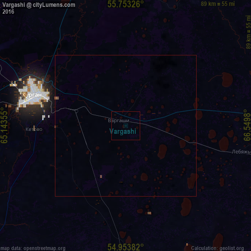
Analysis of Vargashi night lights 2016
Square area 10x10 km:
 0%
0%90-99
0%80-89
0%70-79
0%60-69
0%50-59
0%40-49
0%30-39
0%20-29
0%10-19
0%0-9
100%Square area 50x50 km:
0%90-99
0%80-89
0%70-79
0%60-69
0%50-59
0.02%40-49
0.05%30-39
0%20-29
0%10-19
0%0-9
99.92%Clear (daylight) street map image can be seen on geolist.org.
Map coordinates:
55° 45' 11.7" North, 65° 8' 36.8" East
55° 21' 20" North, 65° 50' 48" East
54° 57' 13.8" North, 66° 32' 59.3" East
Some cities around Vargashi sort by population:
• Kurgan
34.1 km =21.2 mi,  287°
287°
• Makushino
90 km =55.9 mi,  100°
100°
• Yurgamysh
87.5 km =54.4 mi,  271°
271°
• Ketovo
32.9 km =20.4 mi, 269°
• Lebyazh’ye
42.1 km =26.2 mi, 103°
• Lesnikovo
34.5 km =21.4 mi,  256°
256°
• Ikovka
63.8 km =39.6 mi,  296°
296°
• Polovinnoye
63.4 km =39.4 mi,  171°
171°
1487784 (p: 9,728)
Sources (retrieved 2019-11-25):
» Earth at Night: Flat Maps 2012, 2016