Orël night lights from space
Night Light of Orël (Orel Oblast) from space (Russia) Src. Average luminocity for 10x10km area is 63.1997% and for 50x50km: 3.9038%.
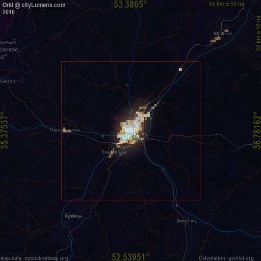
Analysis of Orël night lights 2016
Square area 10x10 km:
 11.77%
90-99
19.31%80-89
13.89%70-79
7.28%60-69
3.97%50-59
6.08%40-49
4.23%30-39
8.2%20-29
13.49%10-19
10.71%0-9
1.06%Square area 50x50 km:
0.54%90-99
0.85%80-89
0.68%70-79
0.36%60-69
0.22%50-59
0.5%40-49
0.33%30-39
0.58%20-29
1.26%10-19
2.85%0-9
91.85%Clear (daylight) street map image can be seen on geolist.org.
Map coordinates:
53° 23' 11.4" North, 35° 22' 31.3" East
52° 57' 54.3" North, 36° 4' 42.6" East
52° 32' 22.2" North, 36° 46' 53.8" East
Some cities around Orël sort by population:
• Mtsensk
47.9 km =29.8 mi,  43°
43°
• Znamenka
10.1 km =6.3 mi,  222°
222°
• Bolkhov
53.4 km =33.2 mi,  354°
354°
• Naryshkino
23.6 km =14.7 mi,  270°
270°
• Kromy
37.3 km =23.2 mi,  214°
214°
• Glazunovka
54.1 km =33.6 mi,  162°
162°
• Zmiyëvka
38.6 km =24 mi,  149°
149°
• Zalegoshch’
54.9 km =34.1 mi,  97°
97°
515012 (p: 324,200)
Sources (retrieved 2019-11-25):
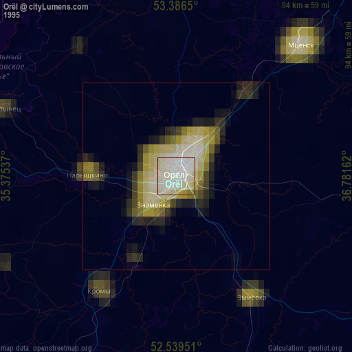
» NASA, Earths city lights 1995
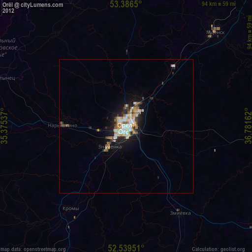
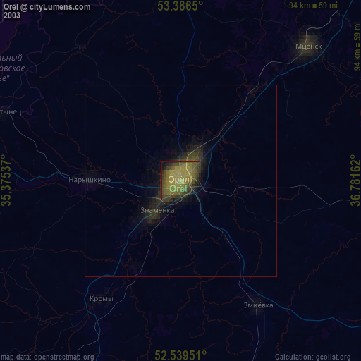
» NASA city lights 2003
» Earth at Night: Flat Maps 2012, 2016