Naryshkino night lights from space
Night Light of Naryshkino (Orel Oblast) from space (Russia) Src. Average luminocity for 10x10km area is 1.5093% and for 50x50km: 2.3808%.
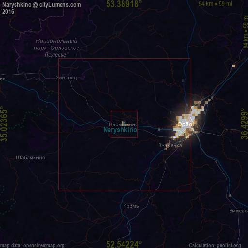
Analysis of Naryshkino night lights 2016
Square area 10x10 km:
 0%
0%90-99
0%80-89
0%70-79
0%60-69
0%50-59
1.06%40-49
0.53%30-39
1.59%20-29
0%10-19
0.53%0-9
96.3%Square area 50x50 km:
0.36%90-99
0.58%80-89
0.44%70-79
0.19%60-69
0.1%50-59
0.28%40-49
0.13%30-39
0.3%20-29
0.86%10-19
1.65%0-9
95.1%Clear (daylight) street map image can be seen on geolist.org.
Map coordinates:
53° 23' 21" North, 35° 1' 25.1" East
52° 58' 4" North, 35° 43' 36.4" East
52° 32' 32.1" North, 36° 25' 47.6" East
Some cities around Naryshkino sort by population:
• Orël
23.6 km =14.7 mi,  90°
90°
• Karachev
52.5 km =32.6 mi,  289°
289°
• Znamenka
18.5 km =11.5 mi,  114°
114°
• Bolkhov
56 km =34.8 mi,  19°
19°
• Kromy
31.3 km =19.4 mi,  175°
175°
• Glazunovka
65.5 km =40.7 mi,  142°
142°
• Dmitrovsk-Orlovskiy
64.6 km =40.1 mi,  217°
217°
• Zmiyëvka
54.9 km =34.1 mi,  127°
127°
523382 (p: 9,600)
Sources (retrieved 2019-11-25):
» Earth at Night: Flat Maps 2012, 2016