Kromy night lights from space
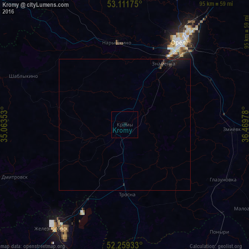
Night Light of Kromy (Orel Oblast) from space (Russia) Src. Average luminocity for 10x10km area is 0.1336% and for 50x50km: 0.2603%.
Analysis of Kromy night lights 2016
Square area 10x10 km:
 0%
0%90-99
0%80-89
0%70-79
0%60-69
0%50-59
0%40-49
0%30-39
0%20-29
0%10-19
0.53%0-9
99.47%Square area 50x50 km:
0%90-99
0%80-89
0%70-79
0%60-69
0%50-59
0.03%40-49
0.05%30-39
0.09%20-29
0.15%10-19
0.69%0-9
99%Clear (daylight) street map image can be seen on geolist.org.
Map coordinates:
53° 6' 42.3" North, 35° 3' 48.7" East
52° 41' 15.4" North, 35° 45' 59.9" East
52° 15' 33.6" North, 36° 28' 11.2" East
Some cities around Kromy sort by population:
• Orël
37.3 km =23.2 mi,  34°
34°
• Zheleznogorsk
47.8 km =29.7 mi,  214°
214°
• Znamenka
27.3 km =17 mi, 31°
• Naryshkino
31.3 km =19.4 mi,  355°
355°
• Glazunovka
42.8 km =26.6 mi,  119°
119°
• Dmitrovsk-Orlovskiy
46.6 km =29 mi,  244°
244°
• Zmiyëvka
41 km =25.5 mi,  93°
93°
• Fatezh
66.9 km =41.6 mi,  174°
174°
540776 (p: 7,098)
Sources (retrieved 2019-11-25):
» Earth at Night: Flat Maps 2012, 2016