Aginskoye night lights from space
Night Light of Aginskoye (Transbaikal Territory) from space (Russia) Src. Average luminocity for 10x10km area is 7.2152% and for 50x50km: 0.2986%.
Analysis of Aginskoye night lights 2016
Square area 10x10 km:
 0%
0%90-99
0.53%80-89
1.87%70-79
0.8%60-69
0.53%50-59
2.14%40-49
1.07%30-39
2.54%20-29
1.2%10-19
0.94%0-9
88.37%Square area 50x50 km:
0%90-99
0.02%80-89
0.08%70-79
0.03%60-69
0.02%50-59
0.09%40-49
0.04%30-39
0.1%20-29
0.05%10-19
0.06%0-9
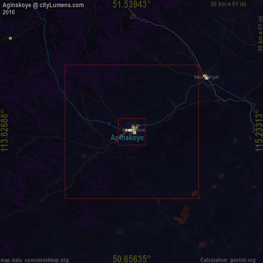
99.51%Clear (daylight) street map image can be seen on geolist.org.
Map coordinates:
51° 32' 21.9" North, 113° 49' 36.8" East
51° 6' 0" North, 114° 31' 48" East
50° 39' 22.9" North, 115° 13' 59.3" East
Some cities around Aginskoye sort by population:
• Pervomayskiy
99 km =61.5 mi,  50°
50°
• Karymskoye
58.8 km =36.5 mi,  347°
347°
• Novokruchininskiy
92.2 km =57.3 mi,  325°
325°
• Atamanovka
111.5 km =69.3 mi, 326°
• Mogoytuy
33.8 km =21 mi, 52°
• Olovyannaya
74.4 km =46.2 mi,  102°
102°
• Darasun
73.2 km =45.5 mi, 328°
• Dul’durga
80.9 km =50.3 mi,  234°
234°
2028078 (p: 17,496)
Sources (retrieved 2019-11-25):
» Earth at Night: Flat Maps 2012, 2016