Krasnokamsk night lights from space
Night Light of Krasnokamsk (Perm) from space (Russia) Src. Average luminocity for 10x10km area is 15.3125% and for 50x50km: 7.8571%.
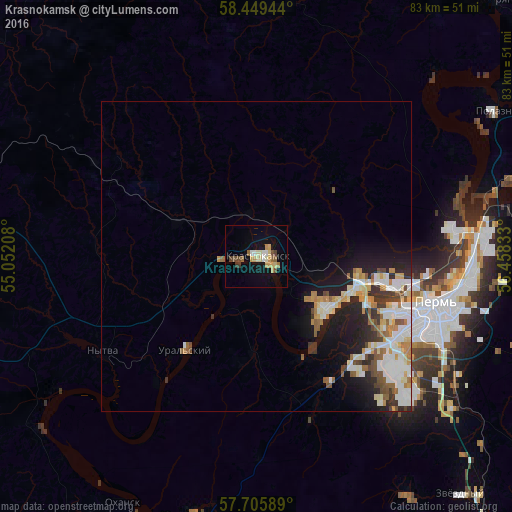
Analysis of Krasnokamsk night lights 2016
Square area 10x10 km:
 1.25%
1.25%90-99
1.82%80-89
3.52%70-79
2.95%60-69
0.68%50-59
1.7%40-49
3.07%30-39
0.91%20-29
0%10-19
8.98%0-9
75.11%Square area 50x50 km:
1.63%90-99
1.72%80-89
0.91%70-79
0.91%60-69
0.83%50-59
0.97%40-49
0.84%30-39
0.91%20-29
1.52%10-19
4.36%0-9
85.42%Clear (daylight) street map image can be seen on geolist.org.
Map coordinates:
58° 26' 58" North, 55° 3' 7.5" East
58° 4' 46.6" North, 55° 45' 18.7" East
57° 42' 21.2" North, 56° 27' 30" East
Some cities around Krasnokamsk sort by population:
• Perm
30.1 km =18.7 mi,  104°
104°
• Nytva
28.8 km =17.9 mi,  238°
238°
• Polazna
45.4 km =28.2 mi,  58°
58°
• Zvëzdnyy
50.8 km =31.6 mi,  139°
139°
• Novyye Lyady
50.4 km =31.3 mi,  93°
93°
• Okhansk
45.5 km =28.3 mi,  208°
208°
• Yugo-Kamskiy
43 km =26.7 mi,  193°
193°
• Kondratovo
23.4 km =14.5 mi,  118°
118°
542327 (p: 52,689)
Sources (retrieved 2019-11-25):
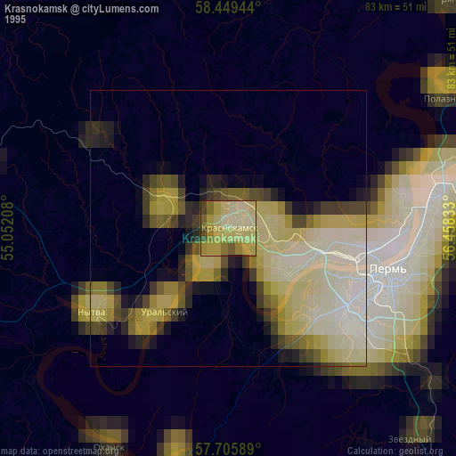
» NASA, Earths city lights 1995
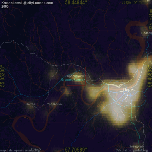
» NASA city lights 2003
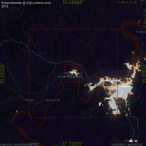
» Earth at Night: Flat Maps 2012, 2016