Nikolayevsk-on-Amure night lights from space
Night Light of Nikolayevsk-on-Amure (Khabarovsk) from space (Russia) Src. Average luminocity for 10x10km area is 10.3485% and for 50x50km: 0.5092%.
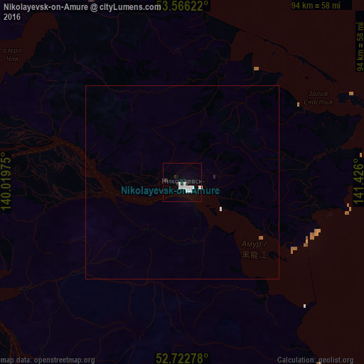
Analysis of Nikolayevsk-on-Amure night lights 2016
Square area 10x10 km:
 4.29%
4.29%90-99
2.53%80-89
0%70-79
0%60-69
0%50-59
0%40-49
0%30-39
0.63%20-29
2.4%10-19
0.63%0-9
89.52%Square area 50x50 km:
0.2%90-99
0.11%80-89
0%70-79
0%60-69
0.02%50-59
0.02%40-49
0%30-39
0.03%20-29
0.12%10-19
0.03%0-9
99.48%Clear (daylight) street map image can be seen on geolist.org.
Map coordinates:
53° 33' 58.4" North, 140° 1' 11.1" East
53° 8' 47.7" North, 140° 43' 22.3" East
52° 43' 22" North, 141° 25' 33.6" East
Some cities around Nikolayevsk-on-Amure sort by population:
• Komsomolsk-on-Amur
385.1 km =239.3 mi,  221°
221°
• Okha
156 km =96.9 mi,  71°
71°
• Solnechnyy
388.5 km =241.4 mi,  226°
226°
• Solnechnyy
381.2 km =236.9 mi, 221°
• Aleksandrovsk-Sakhalinskiy
268.6 km =166.9 mi,  158°
158°
• Nogliki
221.8 km =137.8 mi,  132°
132°
• Tymovskoye
287.9 km =178.9 mi,  152°
152°
• Berëzovyy
380.2 km =236.2 mi,  244°
244°
2122850 (p: 27,152)
Sources (retrieved 2019-11-25):
» Earth at Night: Flat Maps 2012, 2016