Solnechnyy night lights from space
Night Light of Solnechnyy (Khabarovsk) from space (Russia) Src. Average luminocity for 10x10km area is 48.9358% and for 50x50km: 3.5526%.
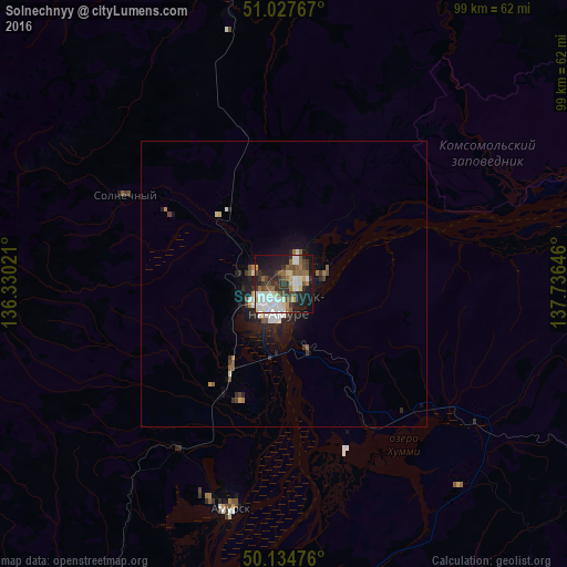
Analysis of Solnechnyy night lights 2016
Square area 10x10 km:
 11.9%
11.9%90-99
10.56%80-89
5.35%70-79
2.14%60-69
4.14%50-59
9.89%40-49
6.28%30-39
9.09%20-29
13.64%10-19
22.59%0-9
4.41%Square area 50x50 km:
0.6%90-99
0.71%80-89
0.27%70-79
0.16%60-69
0.34%50-59
0.57%40-49
0.51%30-39
0.55%20-29
1.18%10-19
2.84%0-9
92.27%Clear (daylight) street map image can be seen on geolist.org.
Map coordinates:
51° 1' 39.6" North, 136° 19' 48.8" East
50° 34' 60" North, 137° 1' 60" East
50° 8' 5.1" North, 137° 44' 11.3" East
Some cities around Solnechnyy sort by population:
• Khabarovsk
272.6 km =169.4 mi,  211°
211°
• Khabarovsk Vtoroy
275.2 km =171 mi, 209°
• Komsomolsk-on-Amur
4 km =2.5 mi,  204°
204°
• Amursk
40 km =24.9 mi, 195°
• Nekrasovka
280.1 km =174 mi, 207°
• Knyaze-Volkonskoye
261.5 km =162.5 mi, 205°
• Berëzovyy
153.9 km =95.6 mi,  321°
321°
• Khurba
22.4 km =13.9 mi, 208°
2016308 (p: 13,993)
Sources (retrieved 2019-11-25):
» Earth at Night: Flat Maps 2012, 2016