Nogliki night lights from space
Night Light of Nogliki (Sakhalin Oblast) from space (Russia) Src. Average luminocity for 10x10km area is 7.4538% and for 50x50km: 0.2925%.
Analysis of Nogliki night lights 2016
Square area 10x10 km:
 1.26%
1.26%90-99
0.98%80-89
0%70-79
0.14%60-69
0.56%50-59
0.98%40-49
4.2%30-39
1.96%20-29
0.56%10-19
1.12%0-9
88.24%Square area 50x50 km:
0.05%90-99
0.04%80-89
0%70-79
0.01%60-69
0.02%50-59
0.04%40-49
0.16%30-39
0.07%20-29
0.04%10-19
0.04%0-9
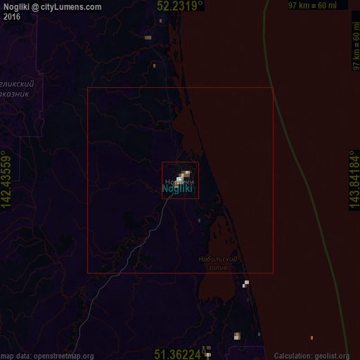
99.54%Clear (daylight) street map image can be seen on geolist.org.
Map coordinates:
52° 13' 54.8" North, 142° 26' 8.1" East
51° 47' 57" North, 143° 8' 19.4" East
51° 21' 44.1" North, 143° 50' 30.6" East
Some cities around Nogliki sort by population:
• Nikolayevsk-on-Amure
221.8 km =137.8 mi,  312°
312°
• Okha
199.5 km =124 mi,  356°
356°
• Poronaysk
286.6 km =178.1 mi,  180°
180°
• Uglegorsk
311.7 km =193.7 mi,  194°
194°
• Aleksandrovsk-Sakhalinskiy
120.9 km =75.1 mi,  214°
214°
• Shakhtersk
300.6 km =186.8 mi, 193°
• Tymovskoye
110.6 km =68.7 mi,  197°
197°
• Smirnykh
229.3 km =142.5 mi, 185°
2122783 (p: 10,098)
Sources (retrieved 2019-11-25):
» Earth at Night: Flat Maps 2012, 2016