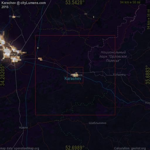
Karachev night lights from space
Night Light of Karachev (Bryansk Oblast) from space (Russia) Src. Average luminocity for 10x10km area is 5.0966% and for 50x50km: 0.3078%.
Analysis of Karachev night lights 2016
Square area 10x10 km:
 0%
0%90-99
0%80-89
0%70-79
0.53%60-69
1.59%50-59
3.17%40-49
1.98%30-39
0.66%20-29
0.53%10-19
0%0-9
91.53%Square area 50x50 km:
0%90-99
0%80-89
0%70-79
0.04%60-69
0.11%50-59
0.2%40-49
0.09%30-39
0.03%20-29
0.04%10-19
0%0-9
99.49%Clear (daylight) street map image can be seen on geolist.org.
Map coordinates:
53° 32' 34.1" North, 34° 16' 55.4" East
53° 7' 22.5" North, 34° 59' 6.6" East
52° 41' 56" North, 35° 41' 17.9" East
Some cities around Karachev sort by population:
• Bryansk
43.3 km =26.9 mi,  289°
289°
• Sel’tso
64.7 km =40.2 mi, 294°
• Navlya
46.4 km =28.8 mi,  224°
224°
• Belyye Berega
23.4 km =14.5 mi, 293°
• Naryshkino
52.5 km =32.6 mi,  109°
109°
• Suponevo
46.8 km =29.1 mi,  281°
281°
• Lyubokhna
58 km =36 mi,  316°
316°
• Vygonichi
61.3 km =38.1 mi,  267°
267°
552920 (p: 19,757)
Sources (retrieved 2019-11-25):
» Earth at Night: Flat Maps 2012, 2016