Muravlenko night lights from space
Night Light of Muravlenko (Yamalo-Nenets) from space (Russia) Src. Average luminocity for 10x10km area is 19.0962% and for 50x50km: 1.0177%.
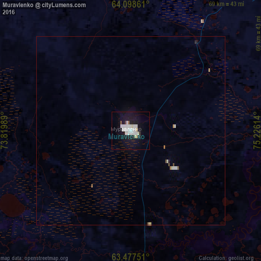
Analysis of Muravlenko night lights 2016
Square area 10x10 km:
 6.25%
6.25%90-99
4.86%80-89
1.29%70-79
0.69%60-69
0.3%50-59
0.5%40-49
0.4%30-39
0.4%20-29
0.99%10-19
26.19%0-9
58.13%Square area 50x50 km:
0.27%90-99
0.23%80-89
0.08%70-79
0.06%60-69
0.04%50-59
0.05%40-49
0.06%30-39
0.02%20-29
0.07%10-19
1.03%0-9
98.08%Clear (daylight) street map image can be seen on geolist.org.
Map coordinates:
64° 5' 55" North, 73° 49' 11.6" East
63° 47' 23.2" North, 74° 31' 22.8" East
63° 28' 39" North, 75° 13' 34.1" East
Some cities around Muravlenko sort by population:
• Noyabrsk
80.4 km =50 mi,  145°
145°
• Kogalym
169.5 km =105.3 mi,  180°
180°
• Nadym
216.1 km =134.3 mi,  333°
333°
• Gubkinskiy
119.9 km =74.5 mi,  53°
53°
• Tarko-Sale
200.4 km =124.5 mi, 51°
• Nizhnesortymskiy
204.5 km =127.1 mi,  222°
222°
• Pangody
229.1 km =142.4 mi,  359°
359°
• Purpe
130.1 km =80.8 mi, 53°
1540711 (p: 39,137)
Sources (retrieved 2019-11-25):
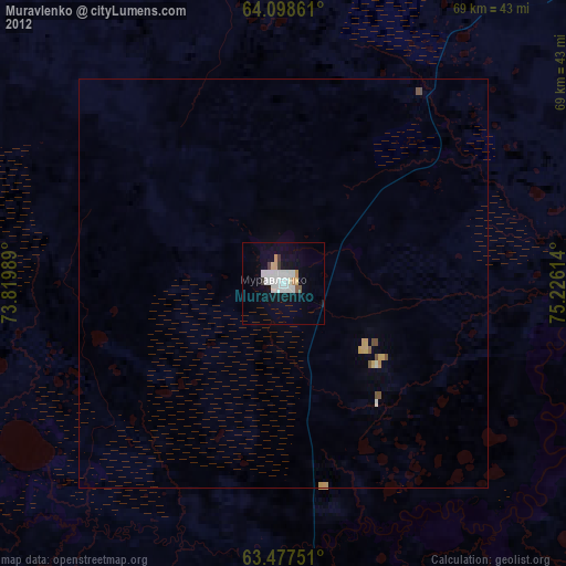
» Earth at Night: Flat Maps 2012, 2016